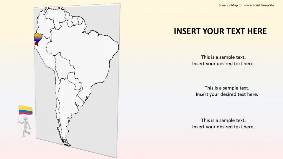
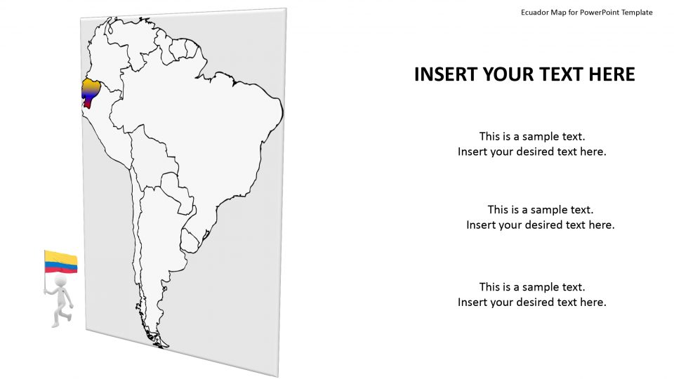
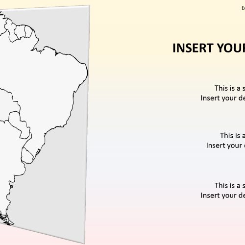
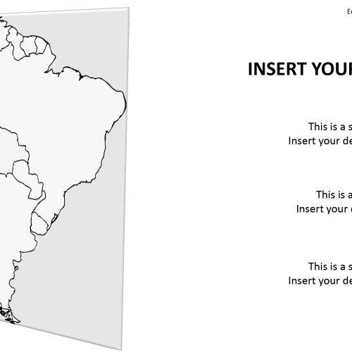
The Ecuador map for PowerPoint templates is a country located in northwestern South America and is bordered by Colombia, Peru, and the Pacific Ocean. The country is been divided into four geographical areas which are the Costa, Oriente, Sierra, and the Galapagos island. This map shows the political outline of Ecuador individually to explain the detailed version of the country.
Slidevilla’s map for Ecuador consists of the slides in the map which displays unique layouts for demonstrating Ecuador and its four geographical counties. The editing and customizable features can assist the users to change the colors or shades and size of these counties in the outline map of Ecuador. The users can make an superb presentation outlining its history and the past events using Ecuador whole editable maps for PowerPoint presentation. This template can benefit both students and teachers by learning the geographical region in the editable PowerPoint templates.
Features:
- Completely editable in terms of shape, color, size and text
- This template has a built in color theme which is unaffected by copy-pasting
- Includes an icon family with 135 unique completely editable icons
- Drag and drop image placeholder
- Completely editable (using spreadsheet) data-driven charts for displaying statistics
- Completely editable vector graphics
Supports
Microsoft PowerPoint 2010, 2011, 2013, 2016
MacOffice 2016, MacOffice 365


Be the first to review “Ecuador Map for PowerPoint Template”