North America PowerPoint Templates
North America maps for PowerPoint, including the USA, Canada and Mexico, with editable states and provinces.
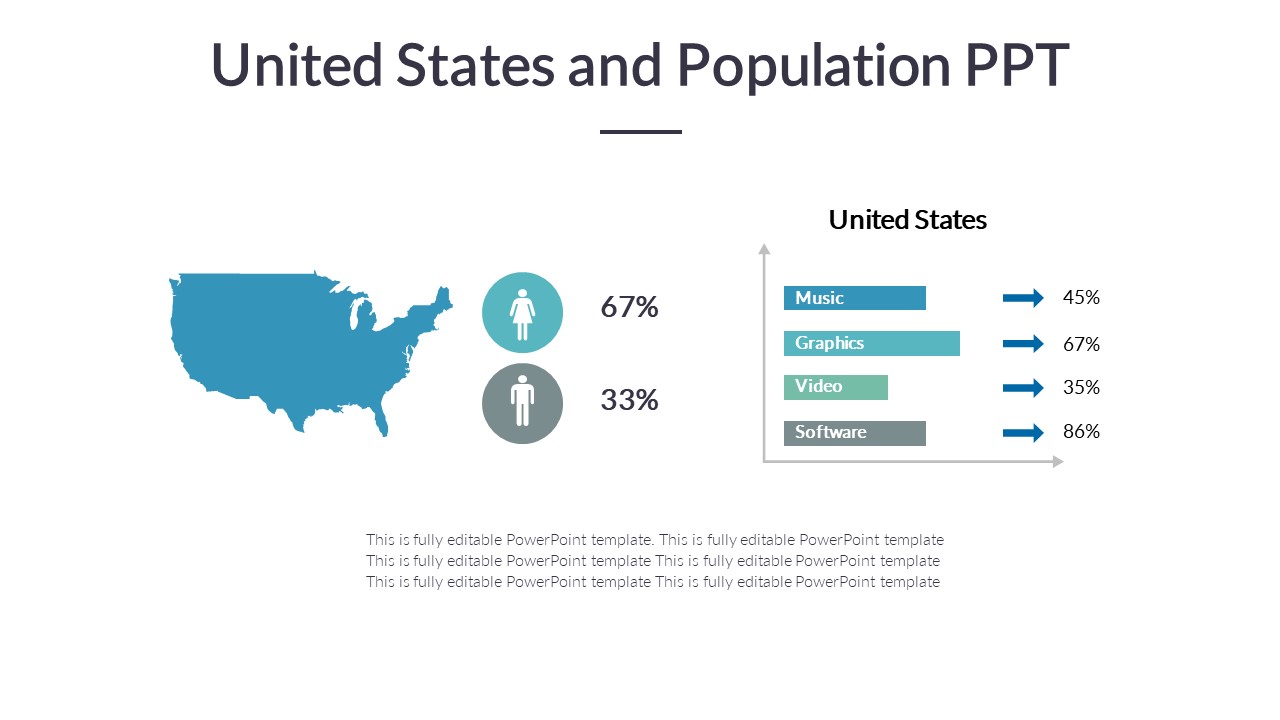
United States and Population PPT

United States Population PowerPoint Presentation

Atlanta US City PowerPoint Template

Ecuador whole Map for PowerPoint Template
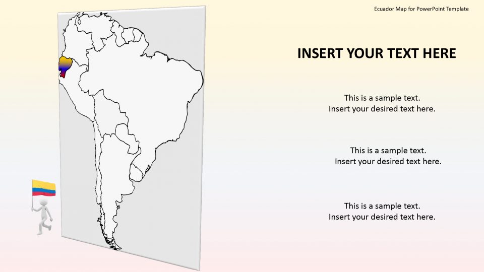
Ecuador Map for PowerPoint Template
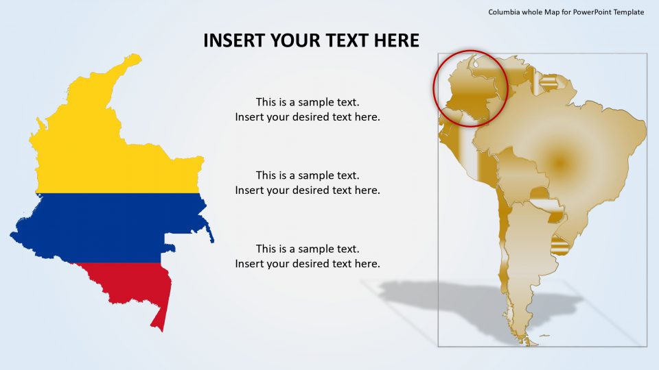
Columbia whole Map for PowerPoint Template

Columbia Map for PowerPoint Template

Chile whole Map for PowerPoint Template
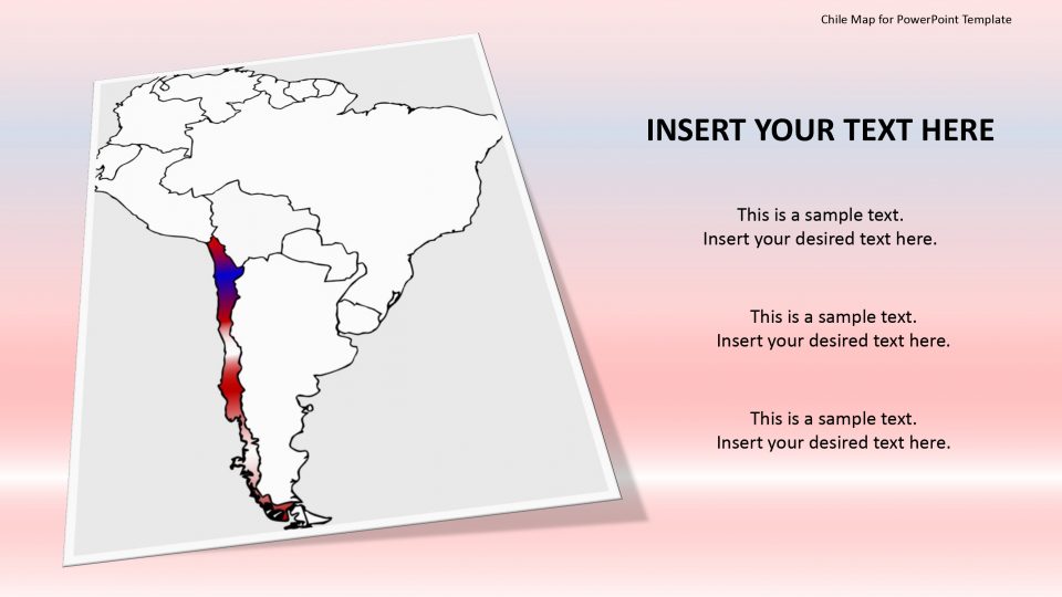
Chile Map for PowerPoint Template
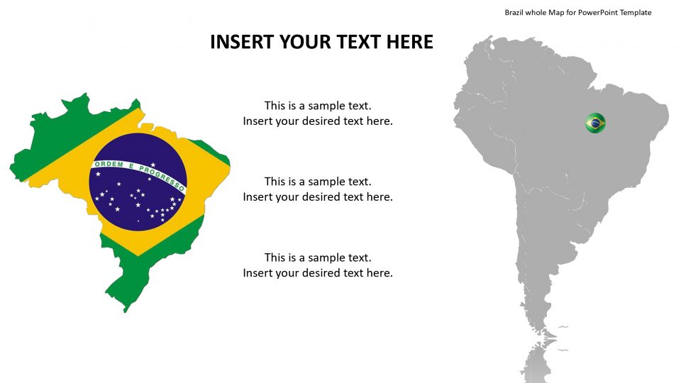
Brazil whole Map for PowerPoint Template

Bolivia whole Map for PowerPoint Template
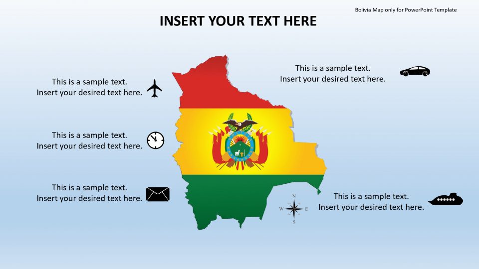
Bolivia Map only for PowerPoint Template

Bolivia Map for PowerPoint Template
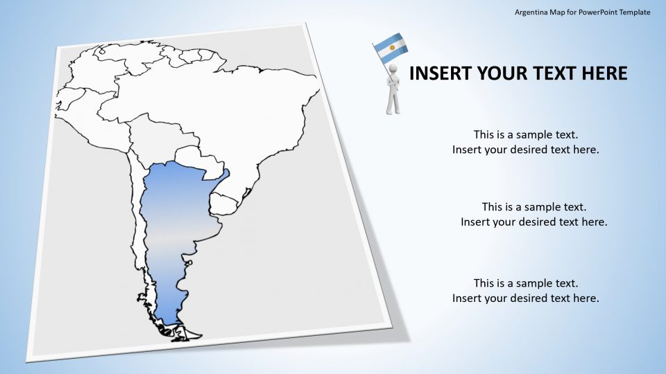
Argentina whole Map for PowerPoint Template
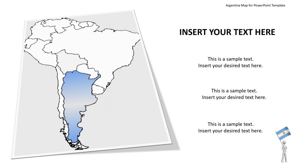
Argentina Map for PowerPoint Template
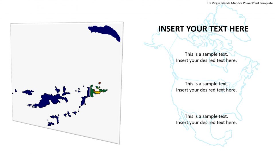
US Virgin Islands Map for PowerPoint Template
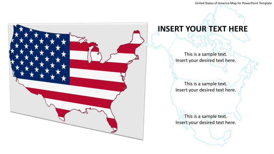
United States of America Map for PowerPoint Template

Turks and Caicos Islands Map for PowerPoint Template
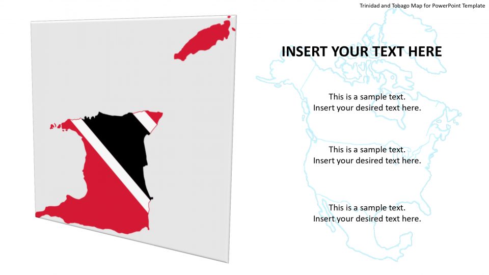
Trinidad and Tobago Map for PowerPoint Template
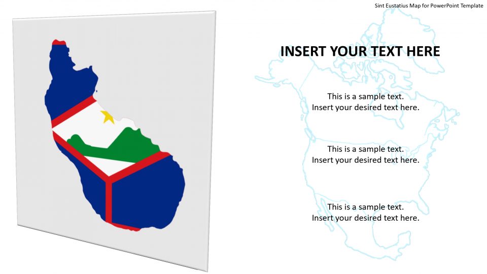
Sint Eustatius Map for PowerPoint Template
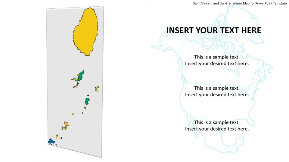
Saint Vincent and the Grenadines Map for PowerPoint Template

Saint Pierre and Miquelon Map for PowerPoint Template

Saint Martin Map for PowerPoint Template

Saint Kitts and Nevis Map for PowerPoint Template
About North America PowerPoint Templates
These maps cover North American countries with editable regions, so you can highlight states, provinces or territories, add pins and show regional data.
Popular uses
- US state sales and coverage
- Regional office locations
- Election and demographic data
- Distribution networks