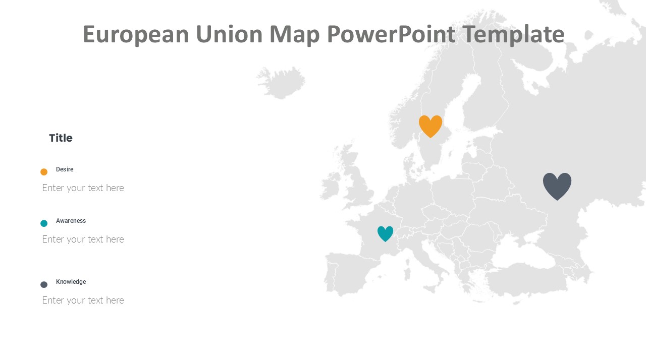
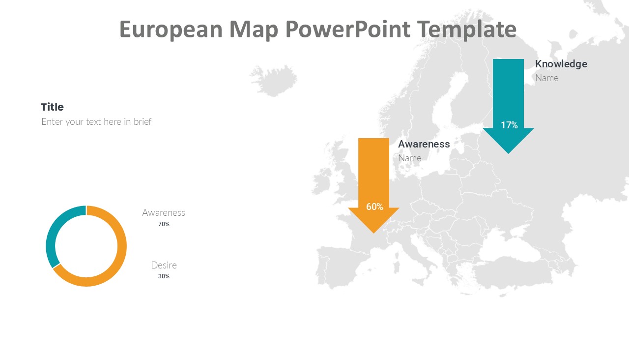
The European Map PowerPoint Template is a versatile and professionally designed presentation tool that is perfect for showcasing data, statistics, and information related to Europe. This template features a detailed and accurate map of the European continent, complete with country borders and major cities.
With this template, you can easily highlight key points of interest, compare data between different European countries, and create engaging and visually appealing presentations. Whether you are giving a business presentation, a geography lesson, or a sales pitch, this template will help you make a strong impact on your audience.
The European Map PowerPoint Template is fully editable, allowing you to customize the colors, fonts, and layout to suit your specific needs. You can easily add or remove elements, resize the map, and rearrange the slides to create a unique and professional-looking presentation.
This template also includes a wide range of icons, charts, graphs, and infographics that you can use to enhance your presentation and make your data more visually appealing. With its clean and modern design, the European Map PowerPoint Template will help you deliver your message with clarity and style.
Key features of the European Map PowerPoint Template:
1. Fully editable maps and slides
2. Customizable colors, fonts, and layout
3. Easy-to-use icons, charts, and infographics
4. Detailed and accurate map of Europe
5. Perfect for business, education, or sales presentations
Overall, the European Map PowerPoint Template is a must-have tool for anyone who needs to create professional and engaging presentations related to Europe. With its flexible design and user-friendly features, this template will help you impress your audience and effectively communicate your message.


Be the first to review “European Map PowerPoint Template”