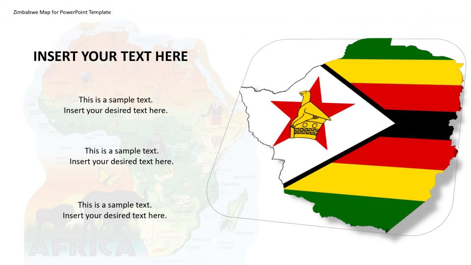
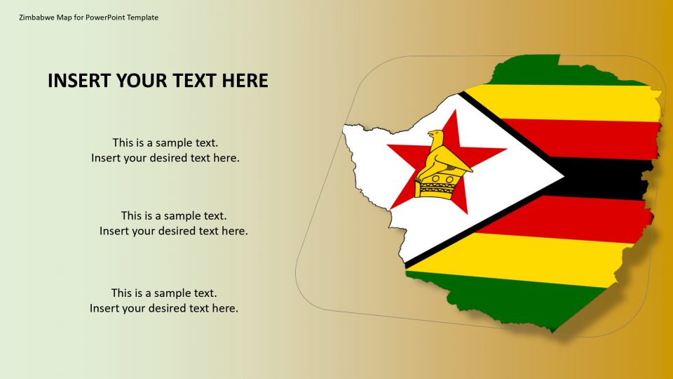
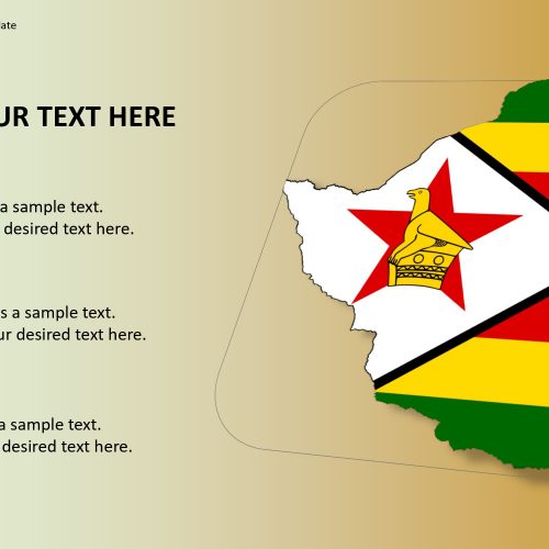
The Zimbabwe map PowerPoint template includes a wide selection of maps of regions in different designs and formats. This is a basic Zimbabwe map layout which can be used effectively in introductions to feature different zones of the landmass and to make introductions where you may require showing an essential guide of Zimbabwe.
This map can be stamped by utilizing the given GPS markers inside each slide. One can choose the respective slide depending on their needs and purposes and present their products. The flag of Zimbabwe is also included in this map.
One can add these slides in any professional presentation to display the geographical areas of Zimbabwe. The location marker or pins can be used to label or spot the important specifications of the regions. One can edit and customize the map as per their preference.
Features:
- Completely editable in terms of shape, color, size and text
- This template has a built in color theme which is unaffected by copy-pasting
- Includes an icon family with 135 unique completely editable icons
- Drag and drop image placeholder
- Completely editable (using spreadsheet) data-driven charts for displaying statistics
- Completely editable vector graphics
Supports
Microsoft PowerPoint 2010, 2011, 2013, 2016
MacOffice 2016, MacOffice 365



Be the first to review “Zimbabwe Map for PowerPoint Template”