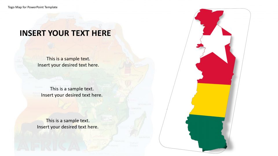
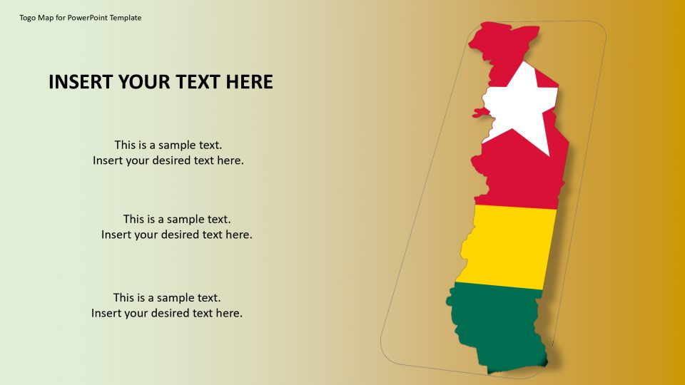
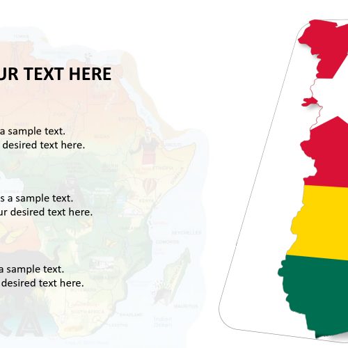
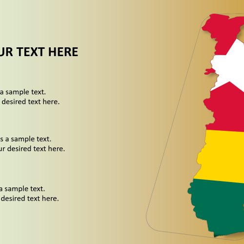
The Togo map for PowerPoint Template also known as the Togolese Republic is located in West Africa. Togo is a sub-Saharan nation, with a growing climate that supports its dependency on the agricultural profession. Togo map is located by neighboring Ghana to the west, Benin to the east, Burkina Faso to the north and the Gulf of Guinea to the south. SlideVilla’s Togo map for PowerPoint template gives an editable guide of Togo with an outline map of all the neighboring states. This can enable you to make a customized guide that can be effectively balanced by the particular point of your introduction in the presentation.
The Togo Map Template accompanies the characteristics of the nation which is editable depending upon your needs. One can use this map to make the presentation effective.
Features:
- Completely editable in terms of shape, color, size and text
- This template has a built in color theme which is unaffected by copy-pasting
- Includes an icon family with 135 unique completely editable icons
- Drag and drop image placeholder
- Completely editable (using spreadsheet) data-driven charts for displaying statistics
- Completely editable vector graphics
Supports
Microsoft PowerPoint 2010, 2011, 2013, 2016
MacOffice 2016, MacOffice 365


Be the first to review “Togo Map for PowerPoint Template”