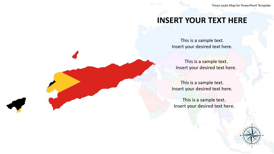
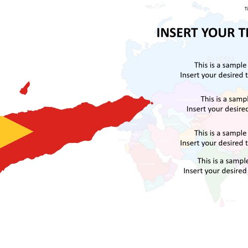
SlideVilla’s Timor Leste map template PowerPoint is a sovereign state located in Maritime Southeast Asia which is also known as East Timor. It is officially known as the Democratic Republic of Timor-Leste.
It consists of the eastern half of the island of Timor, the small nearby islands of Atauro, Oecusse, and Jaco, a field to the northwest side of the island. It is bordered by Indonesian West Timor Leste. Dili is the capital and the largest city with a chief port and commercial center of East Timor.
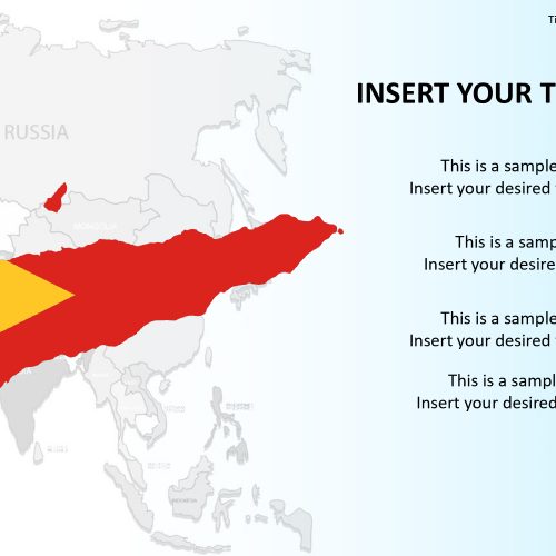
The editable map of Timor-Leste is created with PowerPoint shapes of each of the regions in the country, allowing the consumer to feature the complete country map and to create presentations of each state/region briefly. The maps are available with GPS location icons, location markers, and highlighting effects, that can be applied to a wide range of presentations.
Features:
- Completely editable in terms of shape, color, size and text
- This template has a built in color theme which is unaffected by copy-pasting
- Includes an icon family with 135 unique completely editable icons
- Drag and drop image placeholder
- Completely editable (using spreadsheet) data-driven charts for displaying statistics
- Completely editable vector graphics
Supports
Microsoft PowerPoint 2010, 2011, 2013, 2016
MacOffice 2016, MacOffice 365



Be the first to review “Timor-Leste Map for PowerPoint Template”