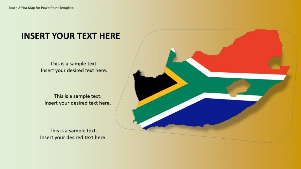
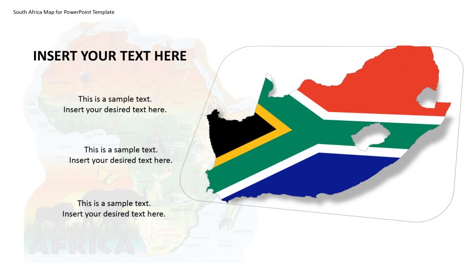
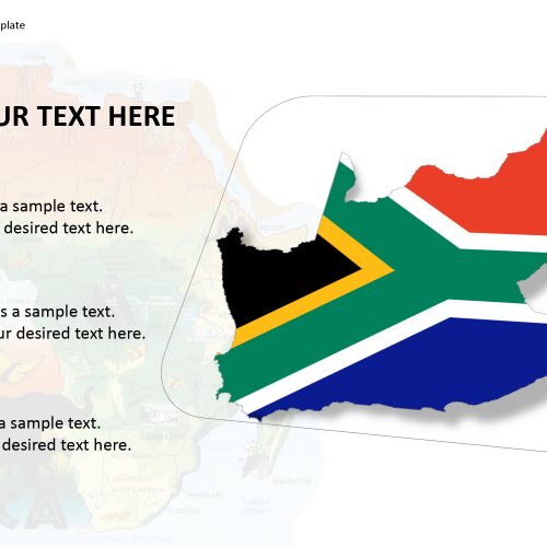
SlideVilla’s South Africa’s PowerPoint template includes a complete map of South Africa which is located at the southernmost tip of the African continent and it’s marked by several very well defined ecosystems. The PowerPoint template provides the western area in detail which has beaches, Winelands around Stellenbosch and Paarl, cliffs at the Cape of Good Hope, forest and lagoons along-side the Garden Route, and the city of Cape Town, which is beneath the Table Mountain.
South Africa has 9 UNESCO World Heritage Sites, including Cape Floristic Region, Robben Island, and Drakensberg Park. The format of south Africa PowerPoint template highlights Eastern Cape, Gauteng, KwaZulu-Natal, Limpopo, Mpumalanga, North West, Northern Cape Free State, and Western Cape. These formats are easily editable maps. One can change shapes, sizes and color and graphics.
Features:
- Completely editable in terms of shape, color, size and text
- This template has a built in color theme which is unaffected by copy-pasting
- Includes an icon family with 135 unique completely editable icons
- Drag and drop image placeholder
- Completely editable (using spreadsheet) data-driven charts for displaying statistics
- Completely editable vector graphics
Supports
Microsoft PowerPoint 2010, 2011, 2013, 2016
MacOffice 2016, MacOffice 365



Be the first to review “South Africa Map for PowerPoint Template”