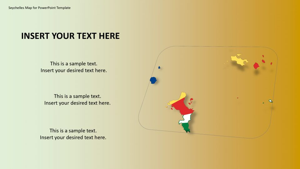
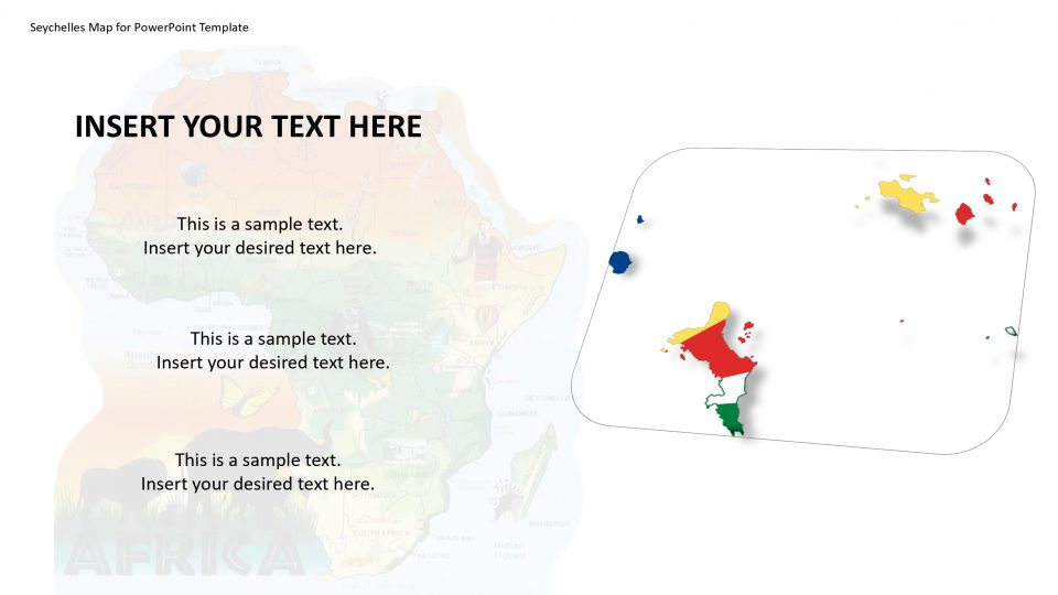
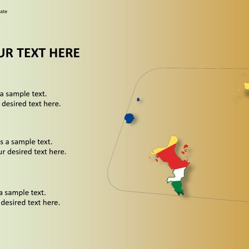
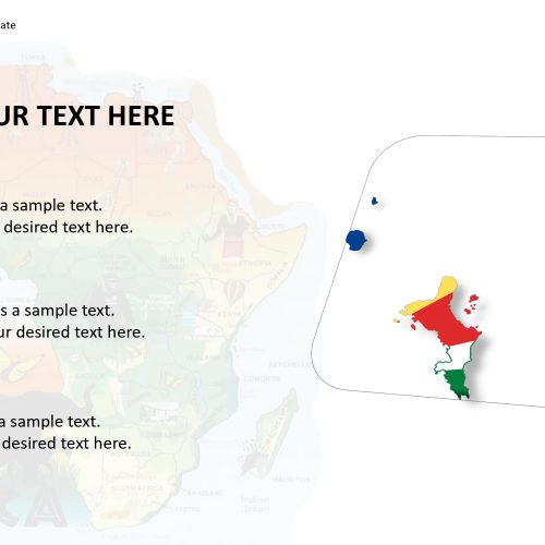
Seychelles map for PowerPoint template includes the outline map of Seychelles which is an island country in the Indian Ocean, also known as the Republic of Seychelles. The map of Seychelles is located 1,500 kilometers east of mainland East Africa. The nearby island countries and territories of Seychelles editable map are Comoros, Mayotte (region of France), and Madagascar, Reunion region of France and Mauritius to the south.
The map template can be used to show different layouts for population, islands such as granite inner islands and coral outer islands and island of Mahe and many magnificent beaches like Anse Georgette, Anse Source d’Argent, Anse Lazio which are the major attractions for visitors. This is an editable map and can be customized depending upon the purpose of the presentation.
Features:
- Completely editable in terms of shape, color, size and text
- This template has a built in color theme which is unaffected by copy-pasting
- Includes an icon family with 135 unique completely editable icons
- Drag and drop image placeholder
- Completely editable (using spreadsheet) data-driven charts for displaying statistics
- Completely editable vector graphics
Supports
Microsoft PowerPoint 2010, 2011, 2013, 2016
MacOffice 2016, MacOffice 365


Be the first to review “Seychelles Map for PowerPoint Template”