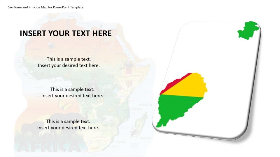
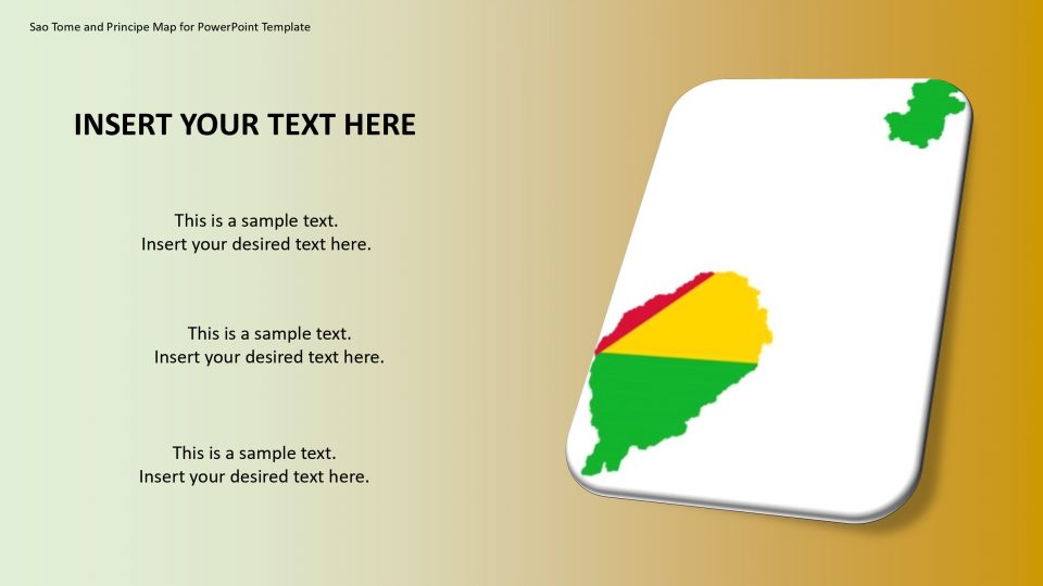
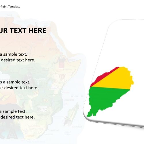
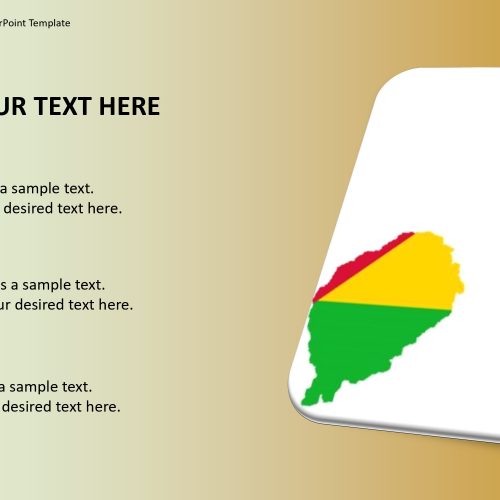
SlideVilla’s Sao Tome’s map for PowerPoint template gives an editable guide of Sao Tome. You can separate and feature maps from various African nations. Sao Tome is a twin-island to Principe found on the equatorial west coast of Africa within the Atlantic Ocean. Sao Tome and Principe are an important part of the Cameroonian volcanic mountain range. It is located such a way on this range that other nearer islands such as Bioko and Annobón are established. These two islands form part of Equatorial Guinea. Also, Mount Cameroon rests on this range and sits on the coast of the Gulf of Guinea.
One can describe the islands located on Sao Tome using this map for PowerPoint template. The range and features of the island and nation can be specified by location markers. This is an editable and customizable map.
Features:
- Completely editable in terms of shape, color, size and text
- This template has a built in color theme which is unaffected by copy-pasting
- Includes an icon family with 135 unique completely editable icons
- Drag and drop image placeholder
- Completely editable (using spreadsheet) data-driven charts for displaying statistics
- Completely editable vector graphics
Supports
Microsoft PowerPoint 2010, 2011, 2013, 2016
MacOffice 2016, MacOffice 365


Be the first to review “Sao Tome and Principe Map for PowerPoint Template”