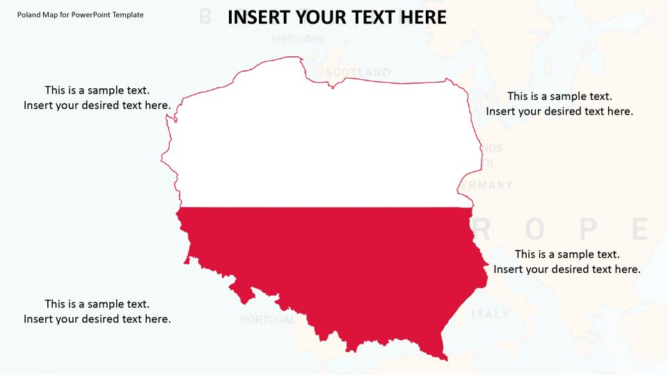
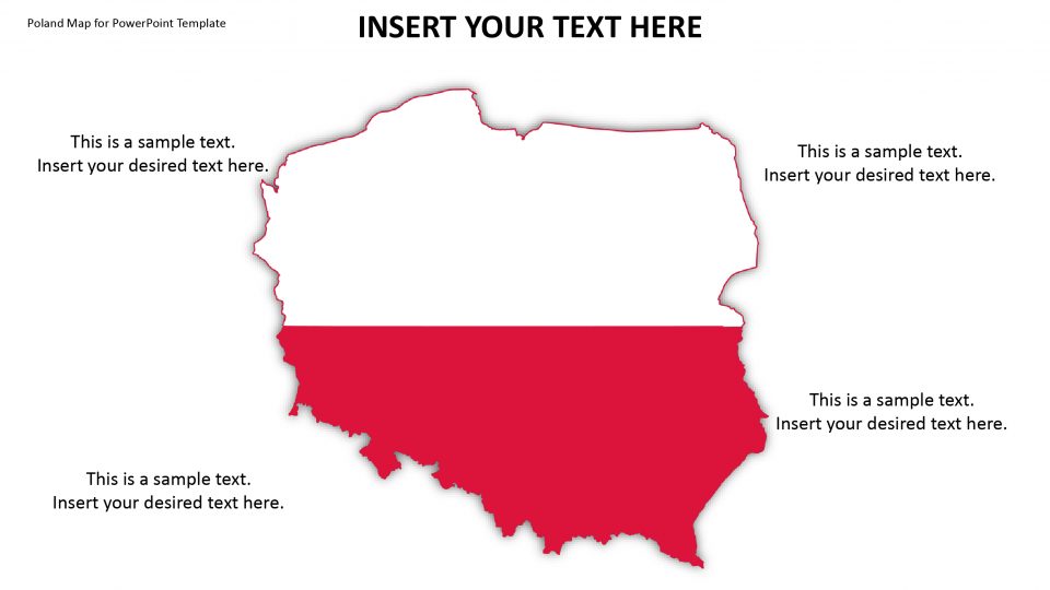
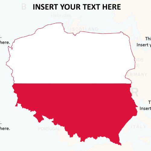
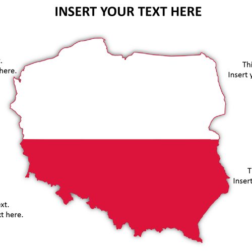
The Poland map template explains the unitary parliamentary republic government the country possesses by the means of unique layout designs. Poland is surrounded by Slovakia in the south, Ukraine in the southeast, the Czech Republic in the southwest, and Germany in the west, Belarus in east and Lithuania and Russia in the northeast. It also shares maritime borders with Sweden and Denmark.
One can change or add different colors to each administrative district which may help perceive them while presenting their topic. Furthermore, the map provides sufficient text placeholders to enter textual details. This map is perfect for business presentations, like the global reach of a company profile. Also, the teachers can use this PowerPoint map presentation as a learning activity tool during lectures. They can also include pictures of the famous landscape and tourist destinations for detailed specifications.
Features:
- Completely editable in terms of shape, color, size and text
- This template has a built in color theme which is unaffected by copy-pasting
- Includes an icon family with 135 unique completely editable icons
- Drag and drop image placeholder
- Completely editable (using spreadsheet) data-driven charts for displaying statistics
- Completely editable vector graphics
Supports
Microsoft PowerPoint 2010, 2011, 2013, 2016
MacOffice 2016, MacOffice 365


Be the first to review “Poland Map for PowerPoint Template”