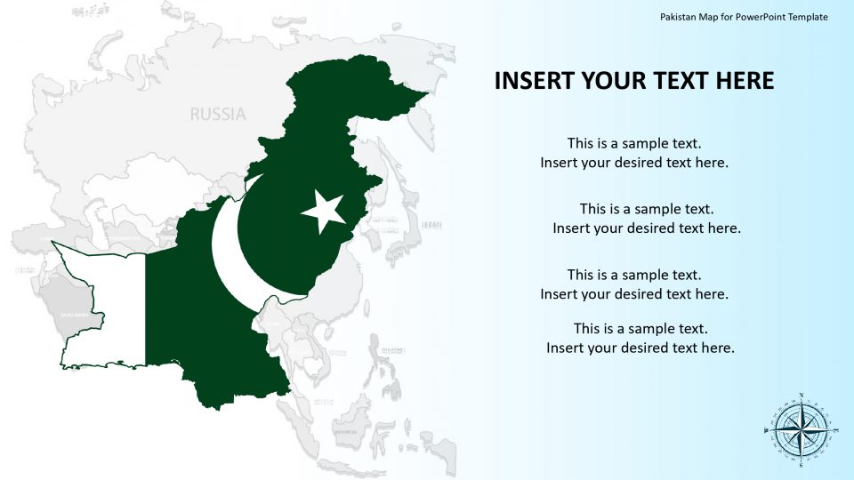
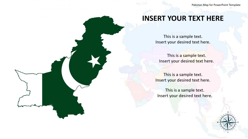
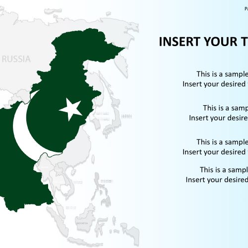
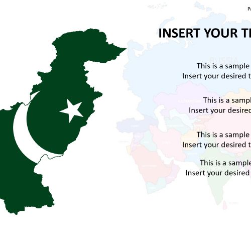
The map for Pakistan PowerPoint template, which is officially called the Islamic Republic of Pakistan, a sovereign country which borders by India to the east, China in the far northeast, Afghanistan to the west, Iran to the southwest, and the Arabian Sea and the Gulf of Oman in the south. The editable map of Pakistan enables users to select the states and use the graphics in another slide. The Flat vector shapes available in the map consists of high-resolution images and rescaling does not affect their quality.
The layout design of the map allows the users to include a brief history, data or relevant facts related to the geographical representation. This goes with the rest of the slide map which can be customized effortlessly.
Features:
- Completely editable in terms of shape, color, size and text
- This template has a built in color theme which is unaffected by copy-pasting
- Includes an icon family with 135 unique completely editable icons
- Drag and drop image placeholder
- Completely editable (using spreadsheet) data-driven charts for displaying statistics
- Completely editable vector graphics
Supports
Microsoft PowerPoint 2010, 2011, 2013, 2016
MacOffice 2016, MacOffice 365


Be the first to review “Pakistan Map for PowerPoint Template”