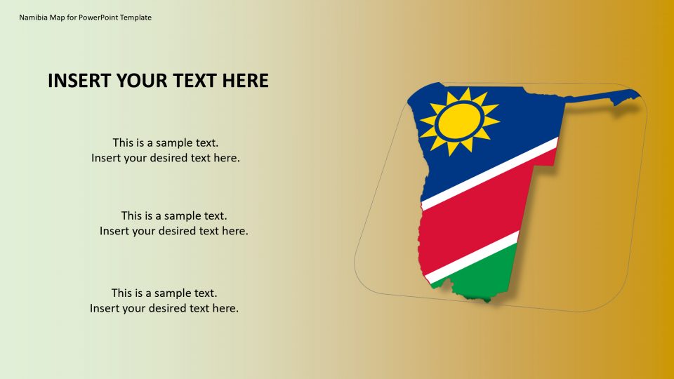
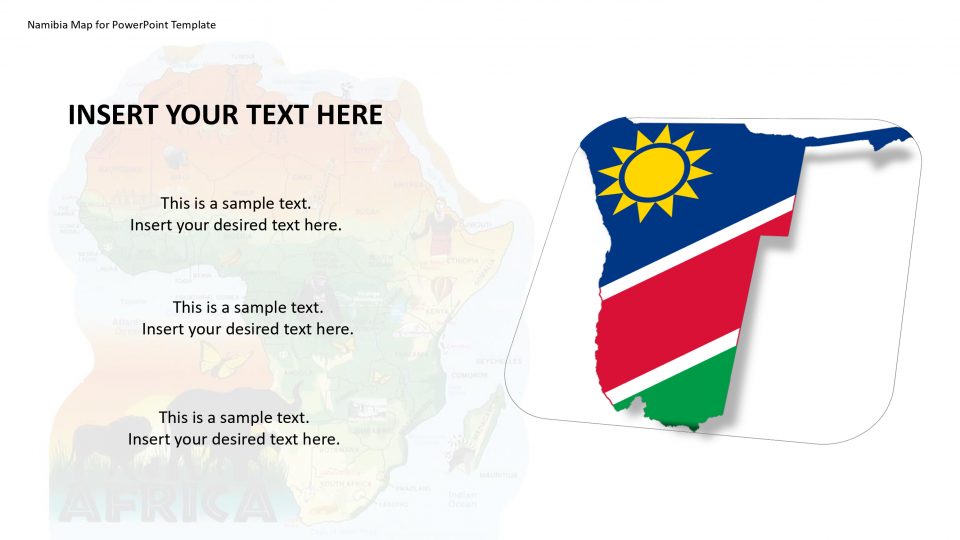
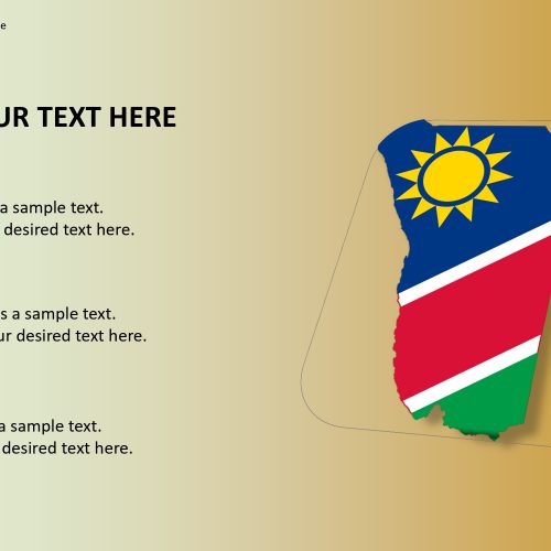
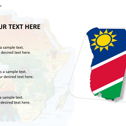
SlideVilla’s Namibia map for PowerPoint presentation template is a very creative template with various slides metaphorically representative ascension to success. Namibia, a country in southwest Africa, is distinguished by the Namib Desert along its Atlantic Ocean coast. According to researchers, there are large herds of African elephants, Cheetas and other diverse wildlife animals in Etosha National Park present in Namibia map.
One can use this map in geography classes effectively to highlight the topics and explain them in a physical way in detail.
Using this map one can explain the wildlife and culture of Namibia with the help of location markers such as pins, flags and GPS markers. Use it to inspire students and young learners. Also, it is completely editable and customizable.
Features:
- Completely editable in terms of shape, color, size and text
- This template has a built in color theme which is unaffected by copy-pasting
- Includes an icon family with 135 unique completely editable icons
- Drag and drop image placeholder
- Completely editable (using spreadsheet) data-driven charts for displaying statistics
- Completely editable vector graphics
Supports
Microsoft PowerPoint 2010, 2011, 2013, 2016
MacOffice 2016, MacOffice 365


Be the first to review “Namibia Map for PowerPoint Template”