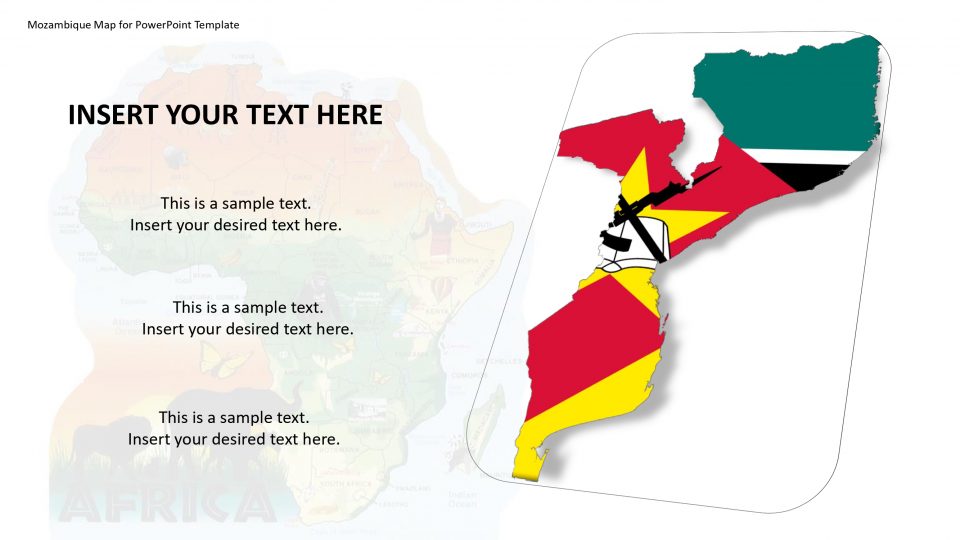
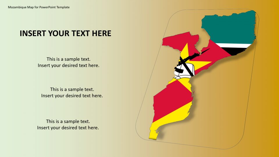
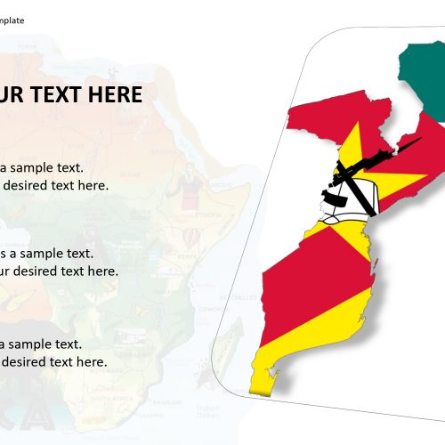
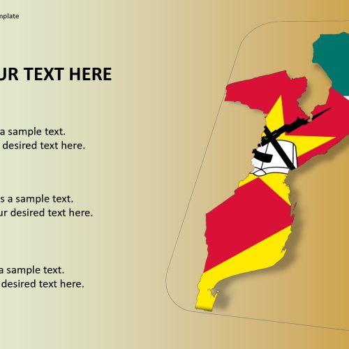
The Mozambique map for PowerPoint template includes the outline and political maps of Mozambique which is situated in a country named Southeast Africa. And the official name of the country is the Republic of Mozambique. It is having a neighboring border by the Indian Ocean to the east, Tanzania to the north, Zimbabwe to the west, Malawi and Zambia to the northwest, and Swaziland and South Africa to the southwest.
The map is having ports around named as Komatipoort and Kosi Bay. Mozambique is a unique and awesome African destination offering some beautiful pristine beaches, uninhabited island, wildlife reserves.
This map can be used to show the diversity in cultures and heritage on a large level. Use GPS markers and location markers to explain the importance of the specific spots. It is a customizable and editable map.
Features:
- Completely editable in terms of shape, color, size and text
- This template has a built in color theme which is unaffected by copy-pasting
- Includes an icon family with 135 unique completely editable icons
- Drag and drop image placeholder
- Completely editable (using spreadsheet) data-driven charts for displaying statistics
- Completely editable vector graphics
Supports
Microsoft PowerPoint 2010, 2011, 2013, 2016
MacOffice 2016, MacOffice 365


Be the first to review “Mozambique Map for PowerPoint Template”