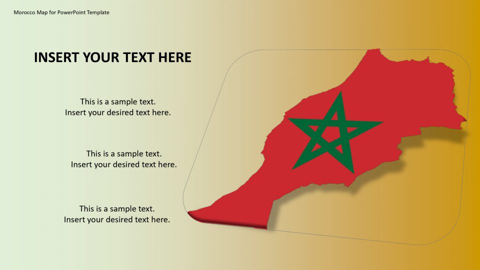
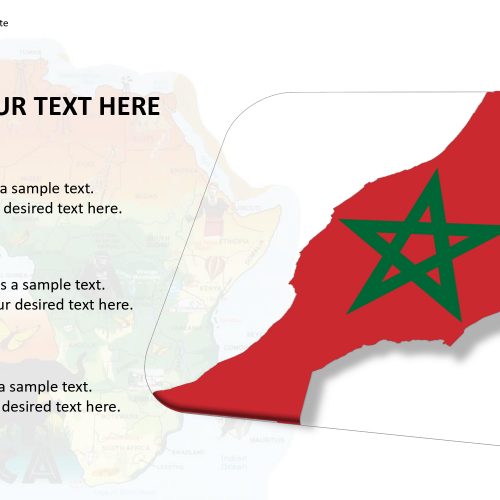
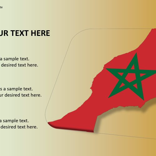
The morocco map for PowerPoint template introduces the Northern African country of Morocco, which is officially known as the Kingdom of Morocco. It is situated between Algeria and annexed Western Sahara also called as the Southern Provinces. It is bordered by the Mediterranean Ocean and the Atlantic Ocean.
The interesting fact that Morocco is one of only three countries among France and Spain in the world that do border by these oceans.
Morocco is well-known for its two mountain ranges, the Atlas and Rif Mountains; it’s part of the Sahara desert; and its beautiful coastal areas. This natural spots of Morocco can be manifested using this customizable and editable maps. The oceans and political maps can be shown and explained in detail by putting location markers.
Features:
- Completely editable in terms of shape, color, size and text
- This template has a built in color theme which is unaffected by copy-pasting
- Includes an icon family with 135 unique completely editable icons
- Drag and drop image placeholder
- Completely editable (using spreadsheet) data-driven charts for displaying statistics
- Completely editable vector graphics
Supports
Microsoft PowerPoint 2010, 2011, 2013, 2016
MacOffice 2016, MacOffice 365



Be the first to review “Morocco Map for PowerPoint Template”