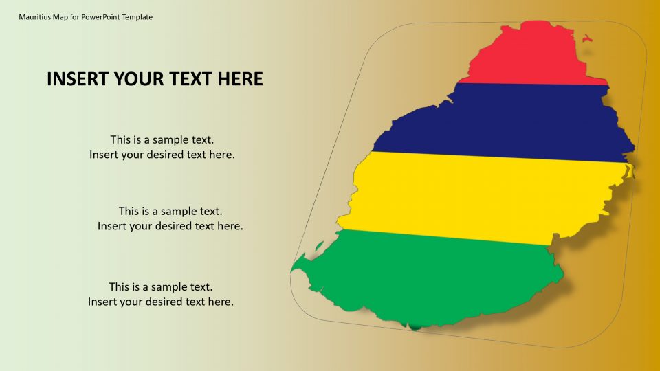
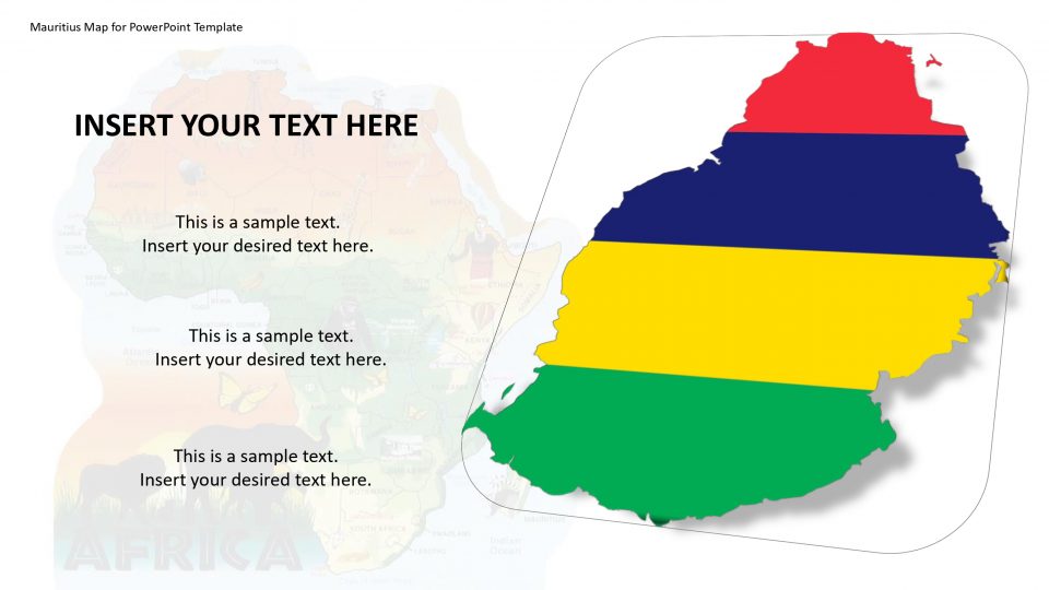
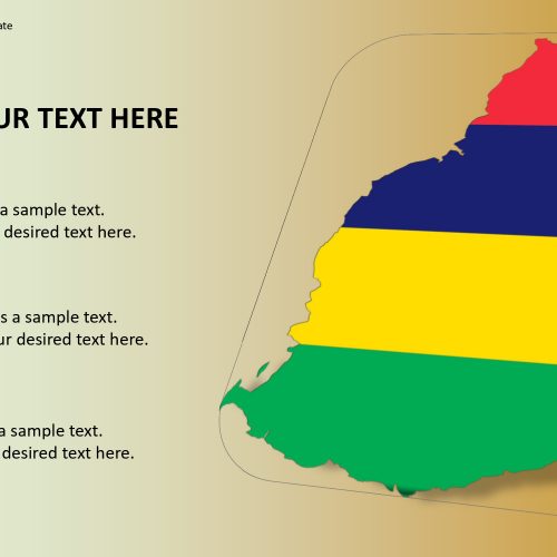
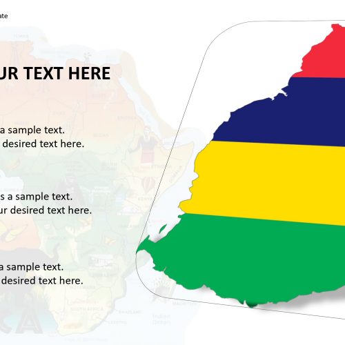
Mauritius map for PowerPoint template is an Indian Ocean island nation situated on the southeastern coast of Africa, which is known for its beautiful beaches, lagoons, and reefs. Mauritius is situated to the east of Madagascar in the Indian Ocean. Its outlying territories are Rodrigues Island to the eastward side, the Cargados Carajos to the northeast, and the Agalega Islands, to the north side from the main island. This island is famous for its wildlife and lush vegetation also. It has a great cultural life and history.
The culture and heritage explanations can be innovated by using this map and transfer the knowledge with an impressive presentation which can be edited and customizes within no time. The layout designs and outline map are unique and impactful.
Features:
- Completely editable in terms of shape, color, size and text
- This template has a built in color theme which is unaffected by copy-pasting
- Includes an icon family with 135 unique completely editable icons
- Drag and drop image placeholder
- Completely editable (using spreadsheet) data-driven charts for displaying statistics
- Completely editable vector graphics
Supports
Microsoft PowerPoint 2010, 2011, 2013, 2016
MacOffice 2016, MacOffice 365


Be the first to review “Mauritius Map for PowerPoint Template”