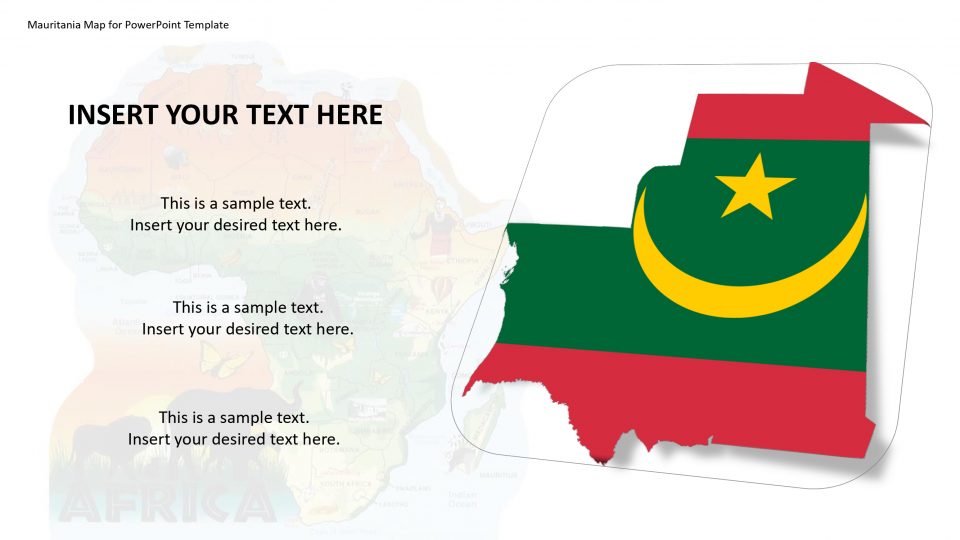
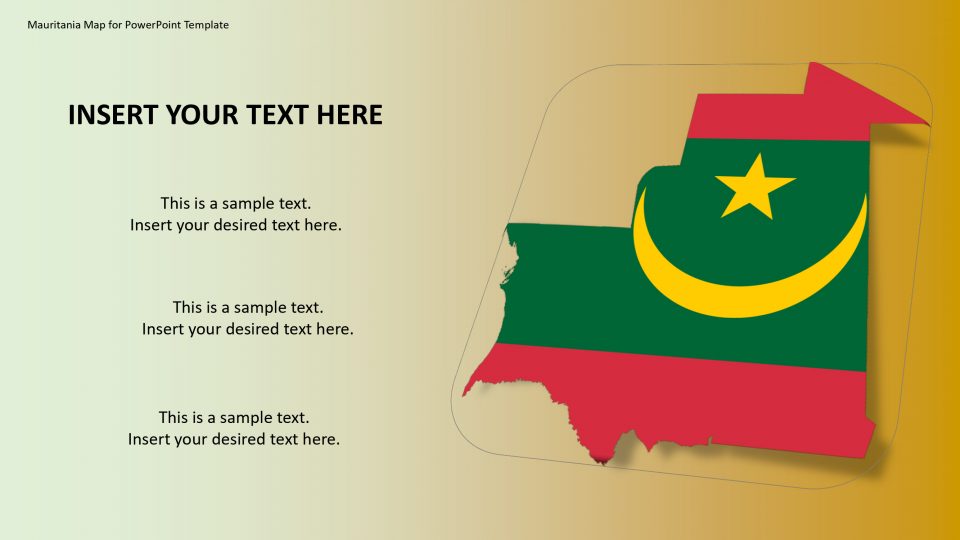
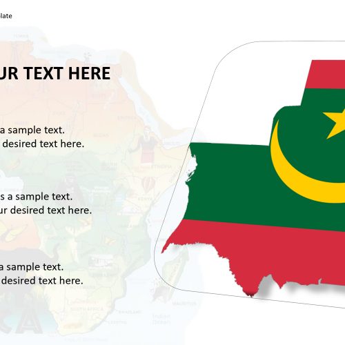
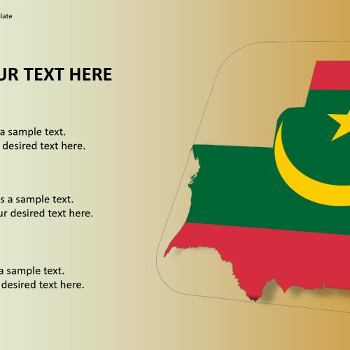
Mauritania is a country in Western Africa, officially the name of the country is the Islamic Republic of Mauritania. The Mauritania map is been bordered by the Atlantic Ocean to the west, Mali in the east and southeast, and Senegal in the southwest, Western Sahara in the north, and Algeria in the northeast. It has a wide area of 1,030,000 square kilometers (400,000 square miles), Mauritania map is the 28th largest country in the world, and it is the 11th largest in Africa.
Mauritania has 2 UNESCO World Heritage Sites. Mauritania has forests and national parks such as Banc d’Arguin National Park which can be highlighted using this map and its customizable features including the applicable changes on size, shapes and location spotter.
Features:
- Completely editable in terms of shape, color, size and text
- This template has a built in color theme which is unaffected by copy-pasting
- Includes an icon family with 135 unique completely editable icons
- Drag and drop image placeholder
- Completely editable (using spreadsheet) data-driven charts for displaying statistics
- Completely editable vector graphics
Supports
Microsoft PowerPoint 2010, 2011, 2013, 2016
MacOffice 2016, MacOffice 365, Google slides


Be the first to review “Mauritania Map for PowerPoint Template”