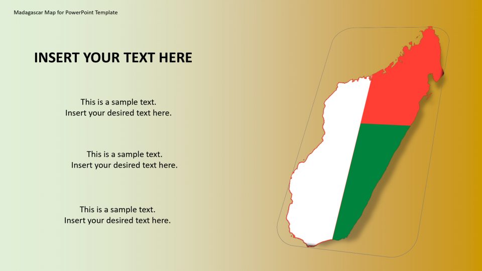
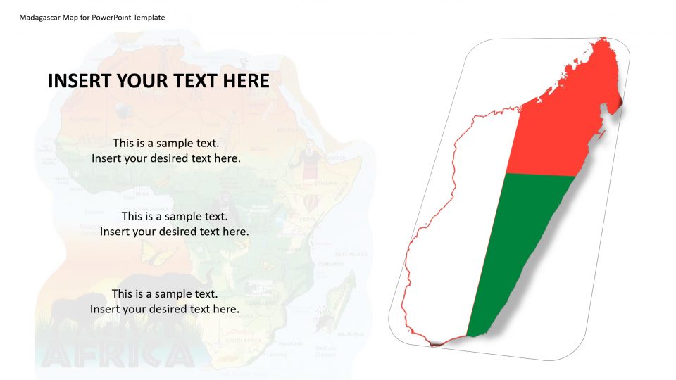
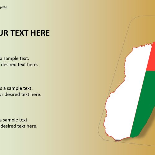
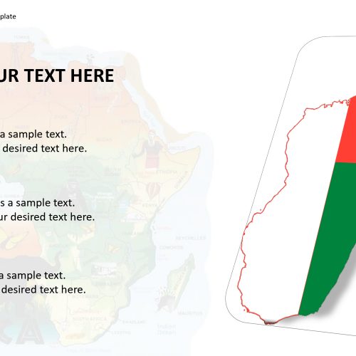
Madagascar map for presentation which is officially known as the Republic of Madagascar is an island country in the Indian Ocean and is located in the coast of Southeast African mainland. The nation contains the island of Madagascar which is the fourth-largest island in the world, as well as numerous smaller islands around this place. The biodiversity that is present on Madagascar is the result of the geographic isolation that happened thousands of years ago. These facts can be presented by the use of the Madagascar map for PowerPoint template.
Madagascar has a large number of wildlife preservation and tourist attractions. These factors can be identified by the flags and pin icons present in the editable and customizable features in the map for presentation template.
Features:
- Completely editable in terms of shape, color, size and text
- This template has a built in color theme which is unaffected by copy-pasting
- Includes an icon family with 135 unique completely editable icons
- Drag and drop image placeholder
- Completely editable (using spreadsheet) data-driven charts for displaying statistics
- Completely editable vector graphics
Supports
Microsoft PowerPoint 2010, 2011, 2013, 2016
MacOffice 2016, MacOffice 365


Be the first to review “Madagascar Map for PowerPoint Template”