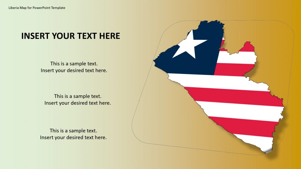
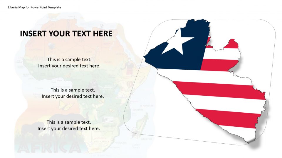
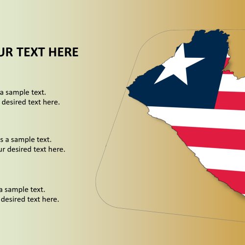
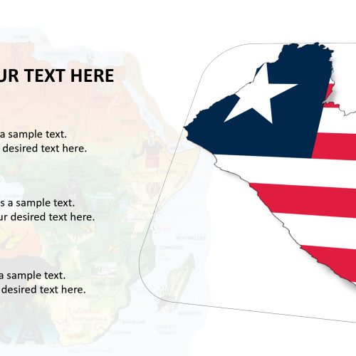
Liberia map is a country in West Africa. It is bordering Sierra Leone, Guinea, and Cote d’Ivoire. On the Atlantic coast, the capital city of Monrovia is possessing the great Liberia National Museum, which exhibits the national culture and history. Liberia is one of only three countries that have not officially adopted the International System of Units (metric system), along with the others being the United States and Myanmar. Liberia map has been one of the biggest cruise industry for many years.
The cultural origin and geographical aspects about Liberia can be elaborated by this Liberia map for PowerPoint presentation. The users can add, remove, and copy these PowerPoint shapes to support the content of concept presentation. The map is completely editable and customizable.
Features:
- Completely editable in terms of shape, color, size and text
- This template has a built in color theme which is unaffected by copy-pasting
- Includes an icon family with 135 unique completely editable icons
- Drag and drop image placeholder
- Completely editable (using spreadsheet) data-driven charts for displaying statistics
- Completely editable vector graphics
Supports
Microsoft PowerPoint 2010, 2011, 2013, 2016
MacOffice 2016, MacOffice 365


Be the first to review “Liberia Map for PowerPoint Template”