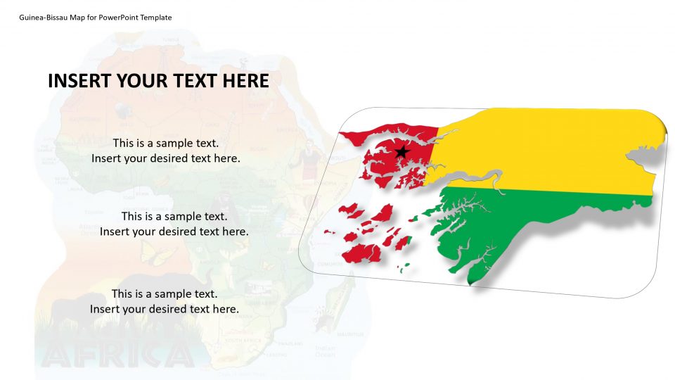
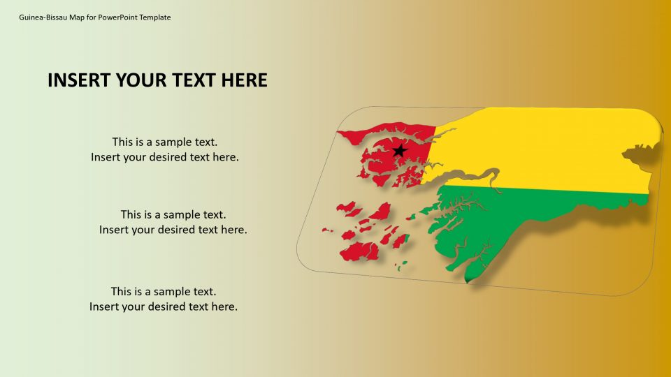
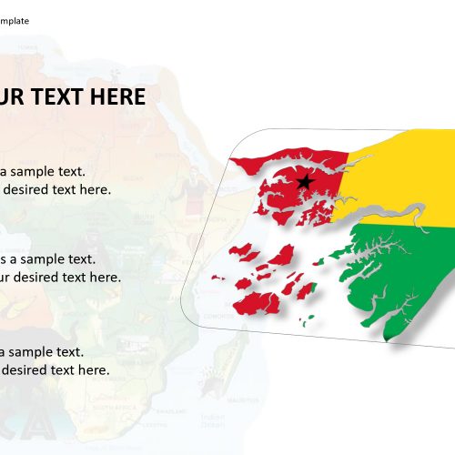
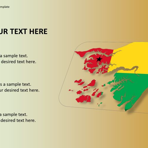
The Guinea-Bissau map consists of a country on the western coast of Africa which is officially named as the Republic of Guinea-Bissau. The neighboring countries of Guinea-Bissau are Guinea to the south and east, the Atlantic Ocean to the west and Senegal to the north.
The Bijagos Archipelago is present off the coast of Guinea-Bissau which is, a group of about 88 islands and is located in the Atlantic Ocean. The famous tourist attraction and national park in Guinea-Bissau are the Orango Islands, National Park.
Hence, the map of Guinea-Bissau benefits the professionals to represent the country’s culture, exports, and national parks, geology, and heritage. The map easily maps editable and customizable with unique and creative location markers.
Features:
- Completely editable in terms of shape, color, size and text
- This template has a built in color theme which is unaffected by copy-pasting
- Includes an icon family with 135 unique completely editable icons
- Drag and drop image placeholder
- Completely editable (using spreadsheet) data-driven charts for displaying statistics
- Completely editable vector graphics
Supports
Microsoft PowerPoint 2010, 2011, 2013, 2016
MacOffice 2016, MacOffice 365


Be the first to review “Guinea-Bissau Map for PowerPoint Template”