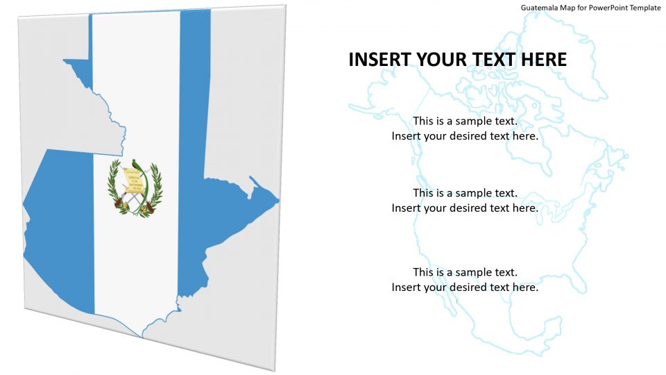
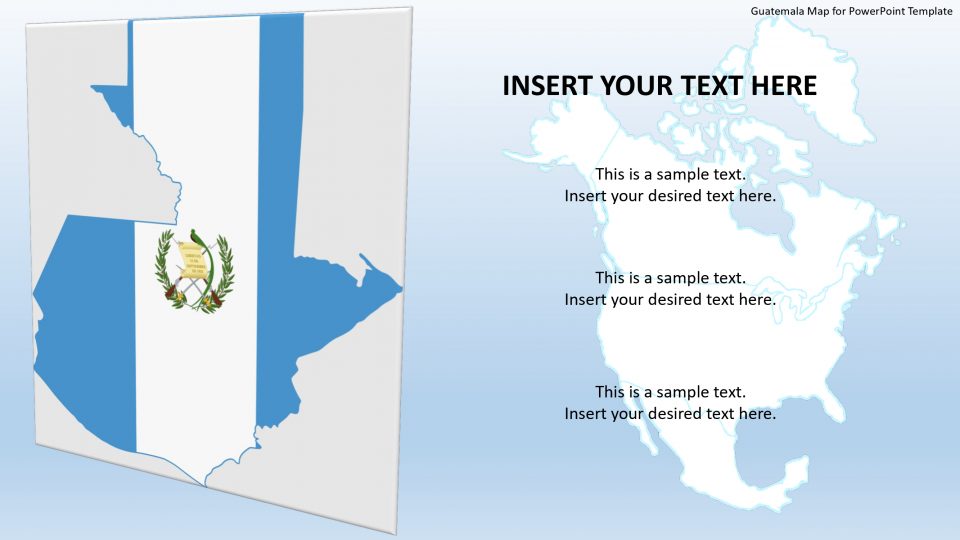
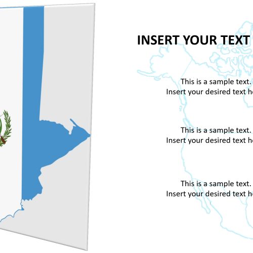
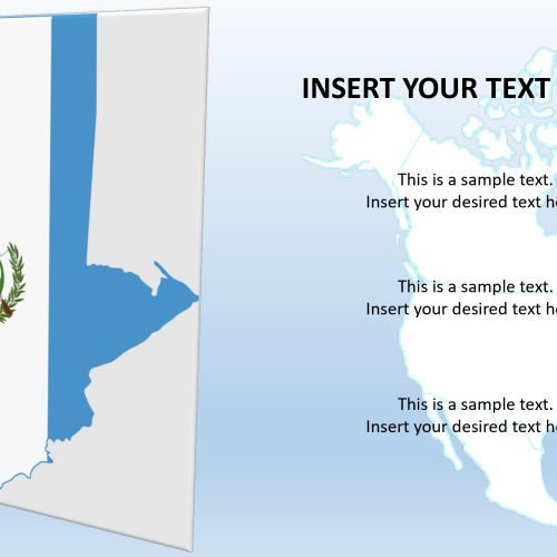
Guatemala map for PowerPoint template is a country located in Central America. Its capital and largest city are called Nueva Guatemala de la Asunción, which is also known as Guatemala City. It is bordered by four countries that include Belize, Honduras, El Salvador, and Mexico. Guatemala is famous for its awe-inspiring treasures. Hence, one can highlight the treasures and its history using the location marker feature present in this map.
The Guatemala map is an editable PowerPoint, allowing the professionals to choose any layout for their business presentation. These maps are further helpful in geographic and history presentations and lectures. Especially in schools, the students can take advantage of labeling regions and outlining multiple states and explaining the topics in a very creative manner.
Features:
- Completely editable in terms of shape, color, size and text
- This template has a built in color theme which is unaffected by copy-pasting
- Includes an icon family with 135 unique completely editable icons
- Drag and drop image placeholder
- Completely editable (using spreadsheet) data-driven charts for displaying statistics
- Completely editable vector graphics
Supports
Microsoft PowerPoint 2010, 2011, 2013, 2016
MacOffice 2016, MacOffice 365


Be the first to review “Guatemala Map for PowerPoint Template”