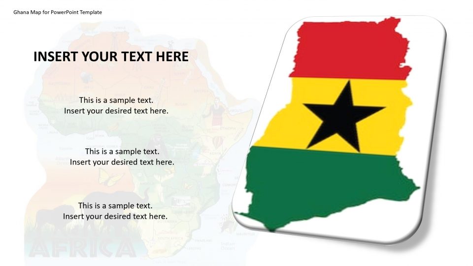
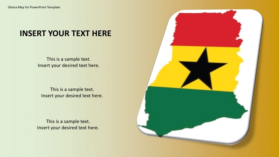
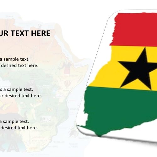
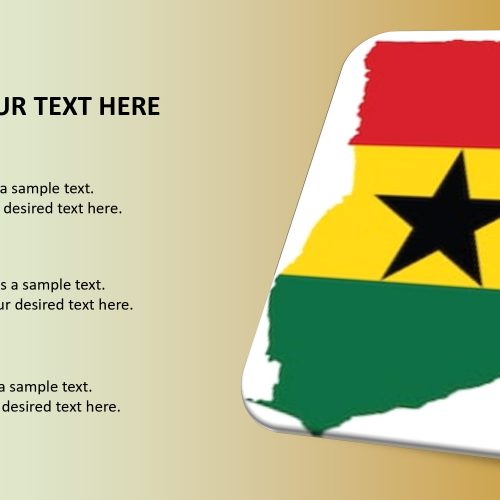
The Ghana map for PowerPoint template, officially the Republic of Ghana, is a country located along the Gulf of Guinea and the Atlantic Ocean, in the region of West Africa. It has three bordering countries which are Côte d’Ivoire, Burkina Faso, and Togo surrounding Ghana. The outline and political map of Ghana can be used for the description of the history and heritage, population, values, and culture of Ghana.
The Ghana map for PowerPoint template provides various slides which consist of fully editable maps. These include variations of Ghana outline map without any other geographical map. For example, different colors for each country to distinguish them are available. Also, one can use flag buttons, pins, and 135 different icons as location markers.
Features:
- Completely editable in terms of shape, color, size and text
- This template has a built in color theme which is unaffected by copy-pasting
- Includes an icon family with 135 unique completely editable icons
- Drag and drop image placeholder
- Completely editable (using spreadsheet) data-driven charts for displaying statistics
- Completely editable vector graphics
Supports
Microsoft PowerPoint 2010, 2011, 2013, 2016
MacOffice 2016, MacOffice 365


Be the first to review “Ghana Map for PowerPoint Template”