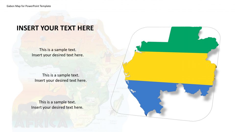
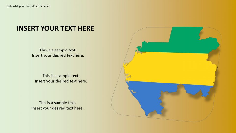
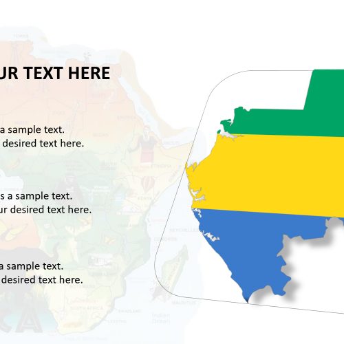
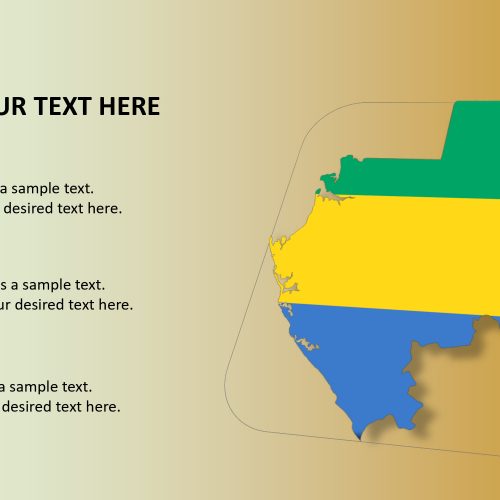
SlideVilla’s Gabon map for PowerPoint template is been bordered by the Republic of the Congo on the east and south, Equatorial Guinea to the northwest, Cameroon to the north, and the Atlantic Ocean to the west.
The map can revise the natural beauty of Gabon that includes the deserted beaches and national parks by pointing out them using the markers such as flags and pins and GPS marker.
The editable and customizable Gabon map for PowerPoint template presents silhouette shapes of country’s geographic region. The slides of editable county maps can be used to bifurcate information in different portions so that the learning process becomes easy. This map can benefit the researchers, business consultants, and sociologists by decreasing their time to prepare the presentation.
Features:
- Completely editable in terms of shape, color, size and text
- This template has a built in color theme which is unaffected by copy-pasting
- Includes an icon family with 135 unique completely editable icons
- Drag and drop image placeholder
- Completely editable (using spreadsheet) data-driven charts for displaying statistics
- Completely editable vector graphics
Supports
Microsoft PowerPoint 2010, 2011, 2013, 2016
MacOffice 2016, MacOffice 365


Be the first to review “Gabon Map for PowerPoint Template”