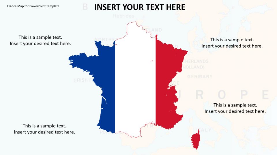
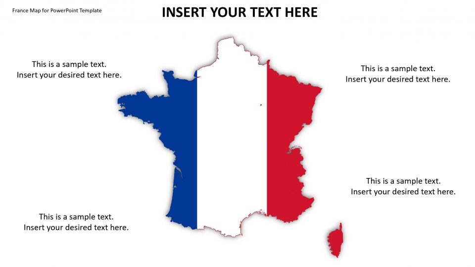
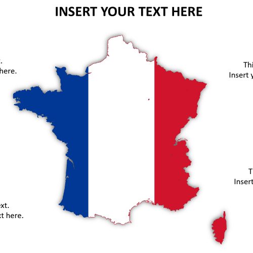
Slidevilla’s editable map for France, which is officially called the French Republic, is a sovereign state situated in Western Europe. This map helps to elaborate the several overseas regions and territories that are present in France. The capital and largest city of France is Paris which can be pinnacled through GPS locators. In the PowerPoint, the capital city can be zoomed out from the main map. It is bordered by Switzerland, Monaco, Italy, Andorra, Belgium, Germany, Luxembourg and Spain.
Hence, all the features in the map are customizable in size and position. Therefore, one can throw a spotlight on a particular city or territory depending on the intention. This is made possible to make the map worthy for sales, marketing, and other political and business purposes.
Features:
- Completely editable in terms of shape, color, size and text
- This template has a built in color theme which is unaffected by copy-pasting
- Includes an icon family with 135 unique completely editable icons
- Drag and drop image placeholder
- Completely editable (using spreadsheet) data-driven charts for displaying statistics
- Completely editable vector graphics
Supports
Microsoft PowerPoint 2010, 2011, 2013, 2016
MacOffice 2016, MacOffice 365



Be the first to review “France Map for PowerPoint Template”