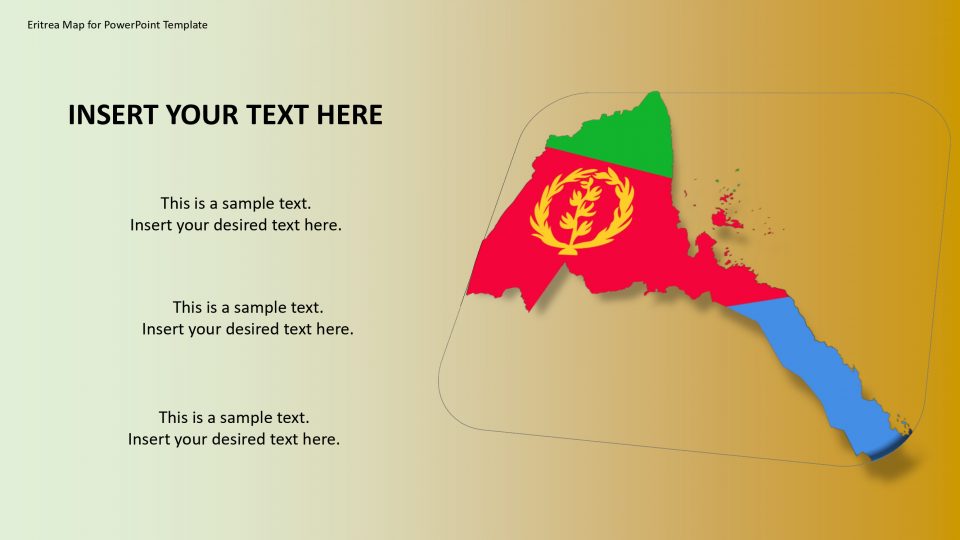
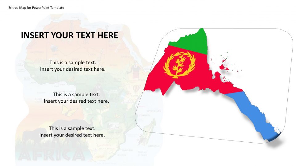
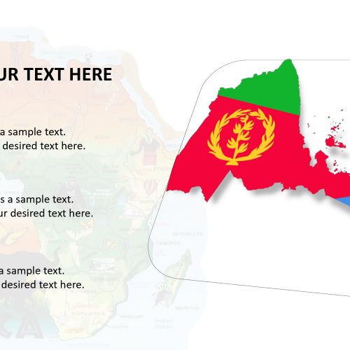
The Eritrea map for PowerPoint template provides various slides of professional silhouette map layouts. These slides are completely editable. Eritrea is a country in northeast Africa on the Red Sea coast. It is been bordered by Ethiopia in the south, Djibouti in the southeast and Sudan in the west. The ancient monastery and Fiat Tagliero Building are one of the famous and important parts of Eritrea. This destination can be highlighted using location markers. It contains flag and location pin clipart icons to label such places, counties, and major cities.
The PowerPoint template of Eritrea map can give an advantage in both academics and business PowerPoint presentations. Also, it will give a major boost to presentations like socio-economic statistics or projects of non-profits.
Features:
- Completely editable in terms of shape, color, size and text
- This template has a built in color theme which is unaffected by copy-pasting
- Includes an icon family with 135 unique completely editable icons
- Drag and drop image placeholder
- Completely editable (using spreadsheet) data-driven charts for displaying statistics
- Completely editable vector graphics
Supports
Microsoft PowerPoint 2010, 2011, 2013, 2016
MacOffice 2016, MacOffice 365



Be the first to review “Eritrea Map for PowerPoint Template”