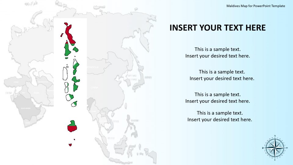
The Maldives map for PowerPoint presentation is an Asian country, situated in the Indian Ocean, which is in the Arabian Sea. The beautiful Maldives consists of many separate islands and atolls. It is one of the popular holiday destinations in the world. The Maldives map template features its history, natural wonders, and many exciting destinations present through GPS locators and location markers.
The map also has a vast collection of editable layout designs. This map can be used in creating professional PowerPoint Presentations. Also, one can insert these country flags clipart into any presentation which will accentuate on concept geographically. Also, these are the value-added PowerPoint shapes which can be used for the promotion of the company in an international market.
Features:
- Completely editable in terms of shape, color, size and text
- This template has a built in color theme which is unaffected by copy-pasting
- Includes an icon family with 135 unique completely editable icons
- Drag and drop image placeholder
- Completely editable (using spreadsheet) data-driven charts for displaying statistics
- Completely editable vector graphics
Supports
Microsoft PowerPoint 2010, 2011, 2013, 2016
MacOffice 2016, MacOffice 365


Be the first to review “Editable Maldives Map for PowerPoint Template”