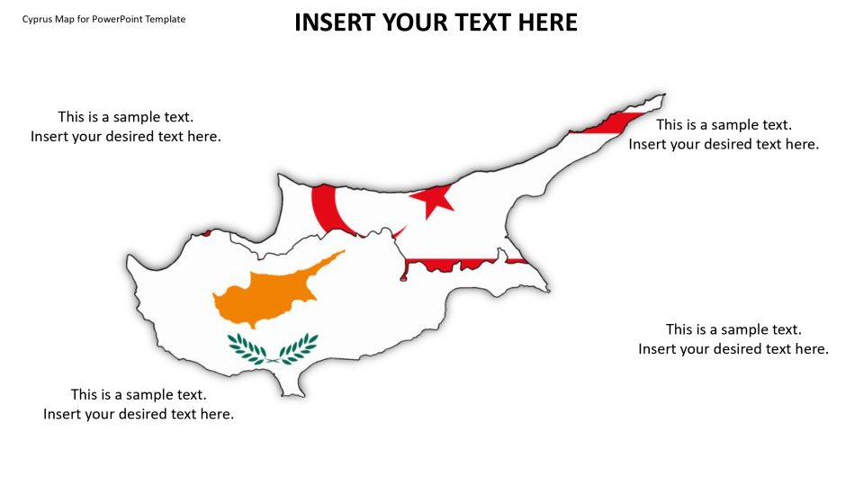
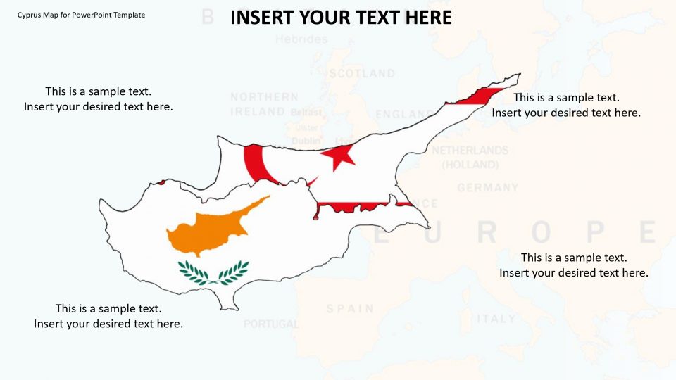
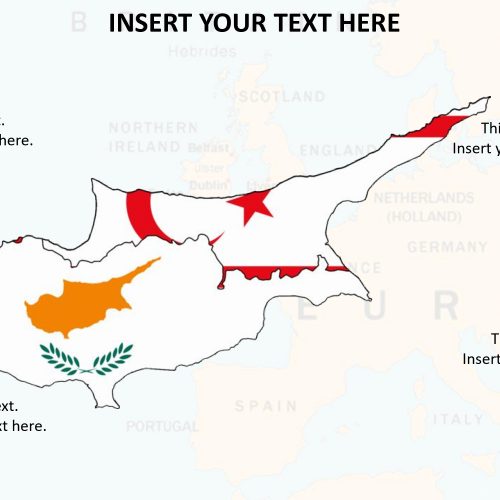
The editable map of Cyprus is an island present in the eastern Mediterranean that possesses a rich and turbulent history stretching back to antiquity. It is surrounded by west of Syria and Lebanon, east of Greece, northwest of Israel and Palestine, north of Egypt and south of Turkey.
One can use this Map PowerPoint presentation to present statistical information and situations about the country. While the theme of the map includes map arrows, pins, pointers, and the national flag to add an artistic touch to the PowerPoint presentation and make it creative as it has fully editable google slides, a wide range of layout options and easily changeable shadows, texts, colors, fonts, and backgrounds. The design elements available in the map template are completely customizable.
Features:
- Completely editable in terms of shape, color, size and text
- This template has a built in color theme which is unaffected by copy-pasting
- Includes an icon family with 135 unique completely editable icons
- Drag and drop image placeholder
- Completely editable (using spreadsheet) data-driven charts for displaying statistics
- Completely editable vector graphics
Supports
Microsoft PowerPoint 2010, 2011, 2013, 2016
MacOffice 2016, MacOffice 365



Be the first to review “Cyprus Map for PowerPoint Template”