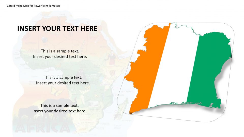
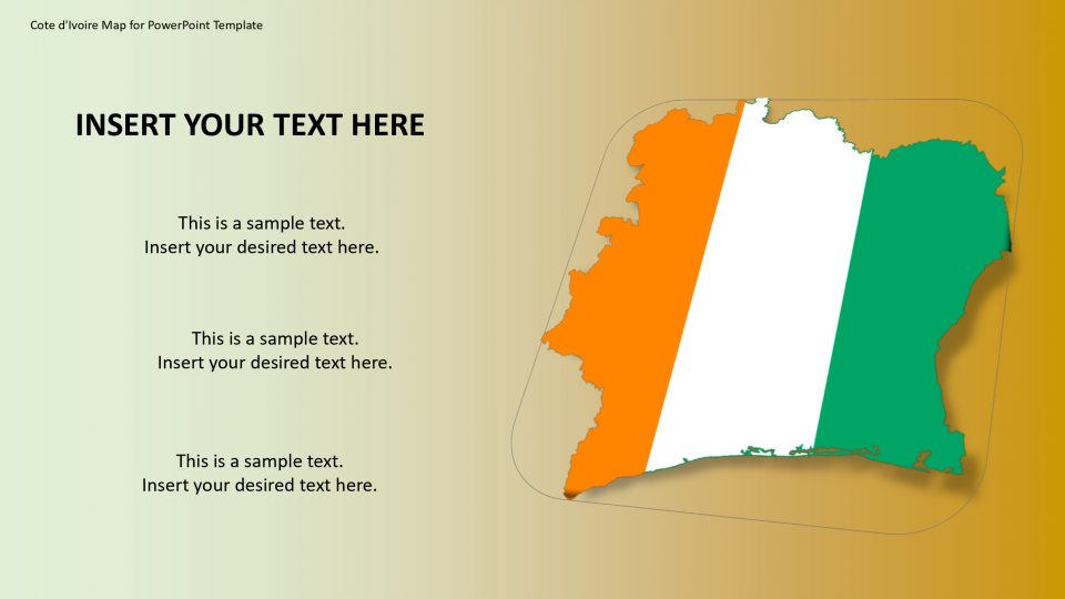
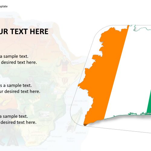
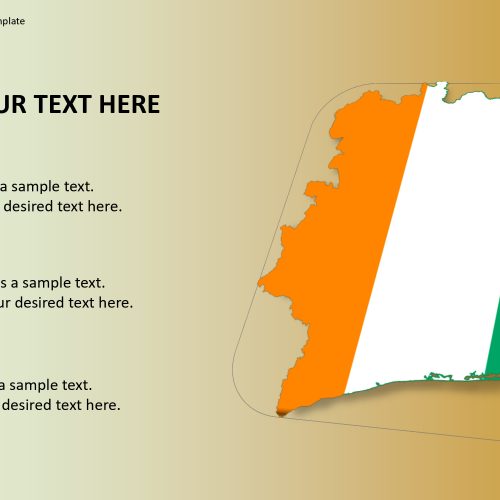
Cote d’Ivoire is a country located in West Africa which has beautiful rainforests, beach resorts, and a French-colonial legacy. The country is also known as Ivory Coast and its official name is the Republic of Cote d’Ivoire. As it is surrounded by Ghana in the east, Guinea and Liberia in the west, Burkina Faso and Mali in the north, and the Atlantic Ocean in the south, the Cote d’Ivoire map for PowerPoint template provides incredible landscape presentation. The map gives a professional look because of its editable feature and illustrative landmarks.
Ivory Coast is famous for its biodiversity, with more than 230 mammals, 700 birds, 125 reptiles, 100 fish and over 35 different types of amphibians, not to mention around 4,700 plant species. This biodiversity can be illustrated using location markers and ranging the subjects.
Features:
- Completely editable in terms of shape, color, size and text
- This template has a built in color theme which is unaffected by copy-pasting
- Includes an icon family with 135 unique completely editable icons
- Drag and drop image placeholder
- Completely editable (using spreadsheet) data-driven charts for displaying statistics
- Completely editable vector graphics
Supports
Microsoft PowerPoint 2010, 2011, 2013, 2016
MacOffice 2016, MacOffice 365


Be the first to review “Cote d’Ivoire Map for PowerPoint Template”