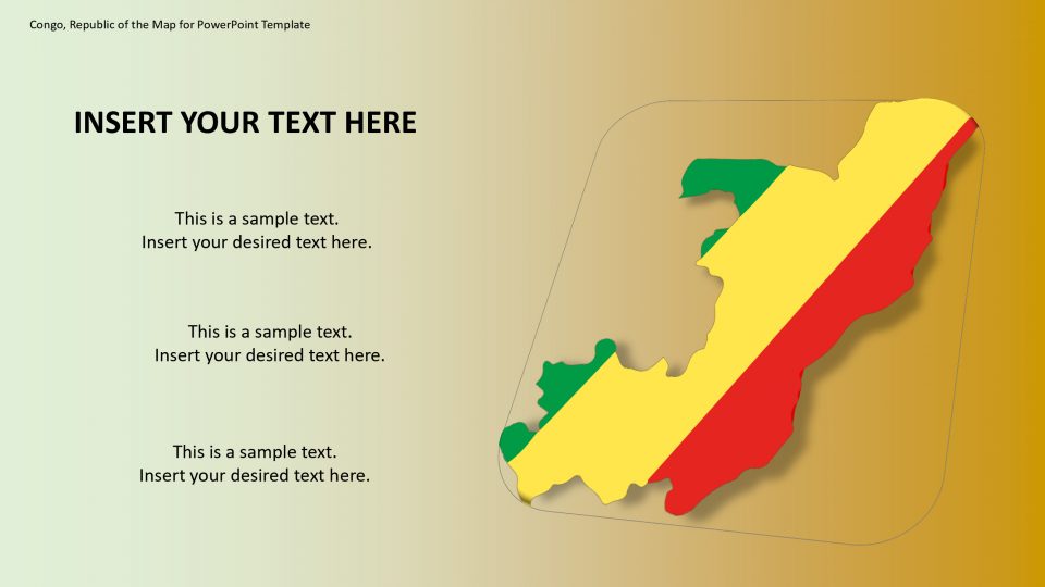
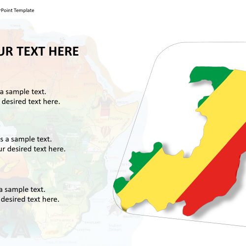
The Congo Republic of the map for PowerPoint template is a country also known as Republic of the Congo, Congo-Brazzaville, and West Congo located in Central Africa. Its neighboring sides of Congo are the Democratic Republic of the Congo to the east and south; and the Angolan exclave of Cabinda to the southwest, Gabon and the Atlantic Ocean to the west, Cameroon to the northwest and the Central African Republic to the northeast.
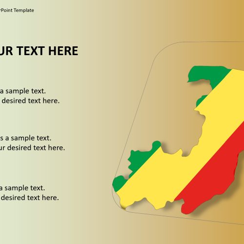
It is a political PowerPoint template of Congo Republic which presents many slides of different silhouette designs. Unlike the regular country maps, the PowerPoint template of single-color outline and the political map could present any subject related to the country’s geography. The map provides the flag of the country and the flat zoom-in option as well as location markers.
Features:
- Completely editable in terms of shape, color, size and text
- This template has a built in color theme which is unaffected by copy-pasting
- Includes an icon family with 135 unique completely editable icons
- Drag and drop image placeholder
- Completely editable (using spreadsheet) data-driven charts for displaying statistics
- Completely editable vector graphics
Supports
Microsoft PowerPoint 2010, 2011, 2013, 2016
MacOffice 2016, MacOffice 365



Be the first to review “Democratic Republic Of Congo Map”