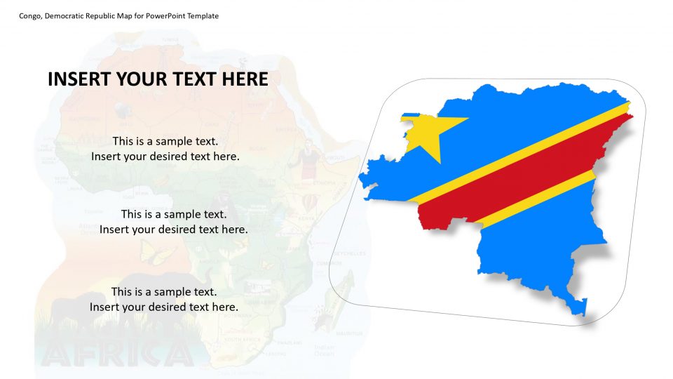
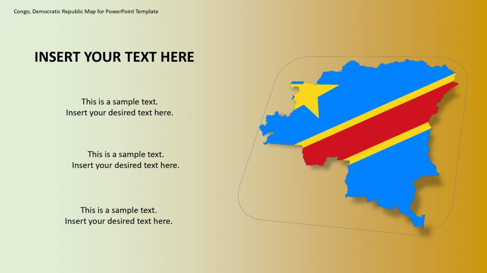
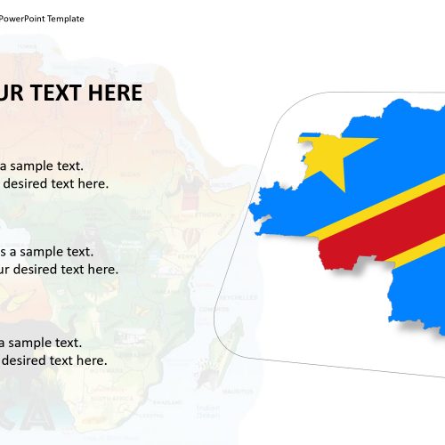
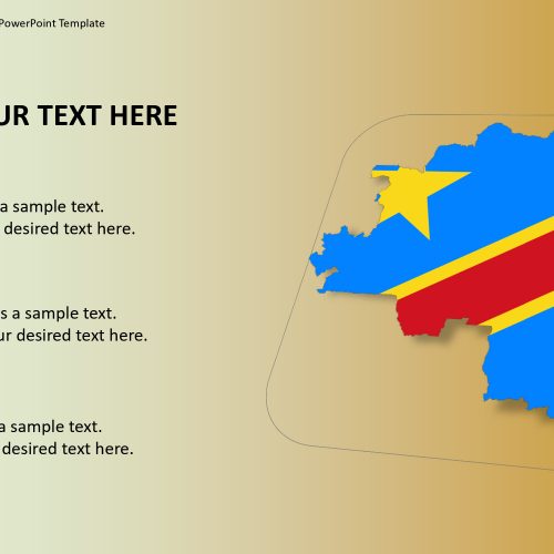
The Congo democratic country is also known as DR Congo, DRC, DROC, Congo-Kinshasa or simply the Congo and is located in Central Africa. It is bordered by the Republic of the Congo to the west and the Atlantic Ocean to the southwest, the Central African Republic and South Sudan to the north; Rwanda, Tanzania, Uganda, and Burundi to the east; Zambia and Angola to the south.
This editable map of Condo Democratic contains individual units of counties. One can make changes in each county shape individually. For example, one can use multiple colors to represent the separate status of each county. These colors can explain various levels of the target customer, population, education, and, political view statistics. It contains flag and location pin icons to label and highlight counties and major cities. Because flags are the identity of each state just like country flags.
Features:
- Completely editable in terms of shape, color, size and text
- This template has a built in color theme which is unaffected by copy-pasting
- Includes an icon family with 135 unique completely editable icons
- Drag and drop image placeholder
- Completely editable (using spreadsheet) data-driven charts for displaying statistics
- Completely editable vector graphics
Supports
Microsoft PowerPoint 2010, 2011, 2013, 2016
MacOffice 2016, MacOffice 365


Be the first to review “Congo, Democratic Republic Map for PowerPoint Template”