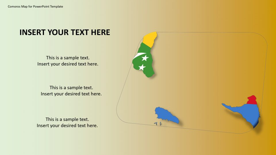
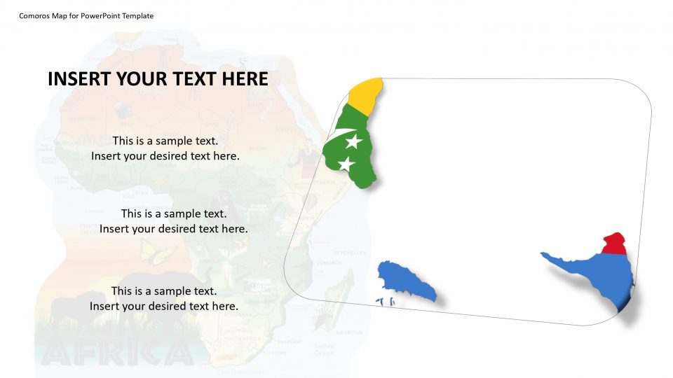
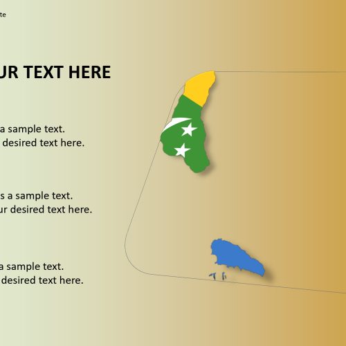
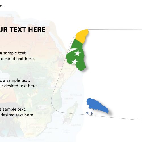
The Comoros map for PowerPoint template is a country located at the northern side of the Mozambique area. The country is situated around two-thirds of the place between northern Mozambique and northern Madagascar. The country’s islands are mostly volcano eruptive areas with interiors that range from low hills to the tall mountains. The islands of Comoros map have the Indian Ocean on one side and the Mozambique Channel on the other side surrounding the nation by water.
The Comoros map helps to identify and elaborate on these geographical aspects in an artistic manner. The map is easily editable and can be customized. Additionally, the Comoros map for PowerPoint template presents flag on the pole as a location marker which is more attractive and appealing to the audience.
Features:
- Completely editable in terms of shape, color, size and text
- This template has a built in color theme which is unaffected by copy-pasting
- Includes an icon family with 135 unique completely editable icons
- Drag and drop image placeholder
- Completely editable (using spreadsheet) data-driven charts for displaying statistics
- Completely editable vector graphics
Supports
Microsoft PowerPoint 2010, 2011, 2013, 2016
MacOffice 2016, MacOffice 365


Be the first to review “Comoros Map for PowerPoint Template”