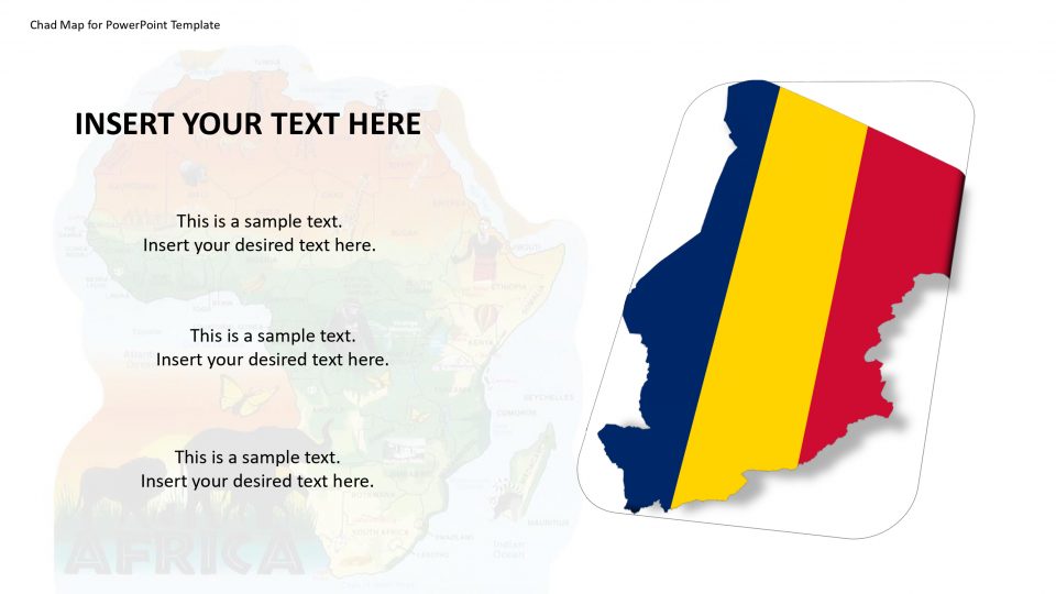
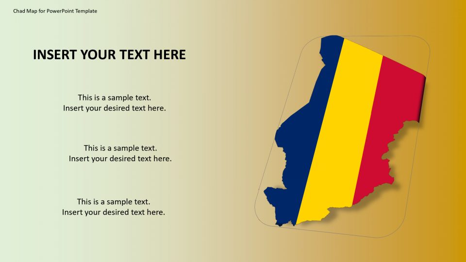
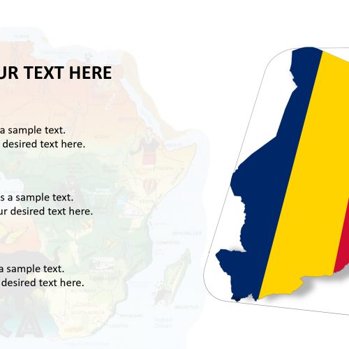
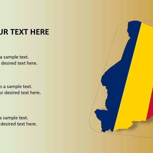
The Chad map for PowerPoint template is the largest of the 16 countries located in Africa. The neighboring countries are the Central African Republic to the south, Cameroon and Nigeria to the southwest and Niger to the west, Libya to the north and Sudan to the east. These borders are outlined by blue and white color in the slides. There are various slides for the representation of the nation’s culture, heritage, political factors, values, and population.
SlideVilla provides the additional PowerPoint shapes and placeholders which provides visual content support for a presentation about the map of Chad. A flag of the country along with the regional and political map in PowerPoint template will definitely impress an international audience and bring their attention to such artistically presented slide.
Features:
- Completely editable in terms of shape, color, size and text
- This template has a built in color theme which is unaffected by copy-pasting
- Includes an icon family with 135 unique completely editable icons
- Drag and drop image placeholder
- Completely editable (using spreadsheet) data-driven charts for displaying statistics
- Completely editable vector graphics
Supports
Microsoft PowerPoint 2010, 2011, 2013, 2016
MacOffice 2016, MacOffice 365


Be the first to review “Chad Map for PowerPoint Template”