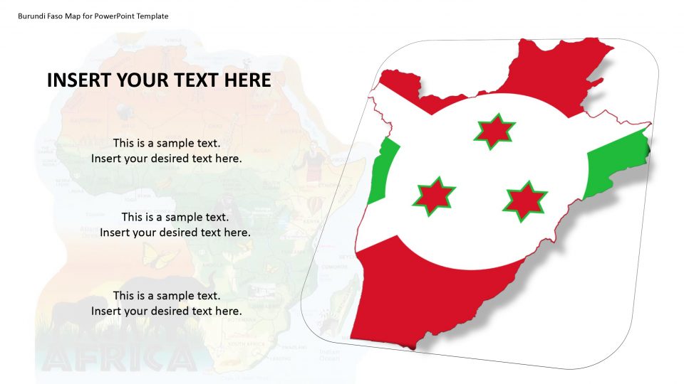
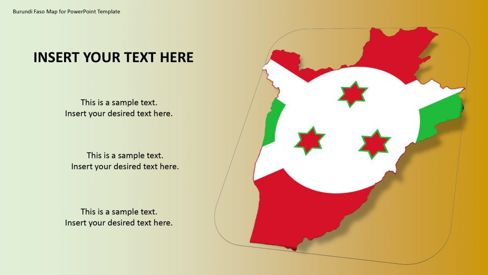
Burundi is a country situated in the African Great Lakes region of East Africa. The official name of the country is known as the Republic of Burundi. The neighbors of Burundi Faso are Tanzania to the east and south, Rwanda to the north, and the Democratic Republic of the Congo to the west.
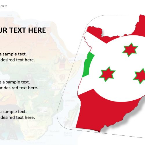
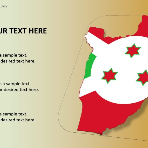
The Burundi Faso map for PowerPoint template presents around 135 unique clipart icons like location pins, flags, and drag and drop image placeholders and text placeholders. One can add, remove, and duplicate these PowerPoint shapes to enhance the content of concept presentation. It further includes two slides that stand out. Because these slides help to highlight a state or province by providing the zoom-in effect. This PowerPoint template contains two flag styles i.e. circular badge design and flat rectangular shape. It also provides pin, star and ring icon as labels for location markers apart from geo-location icon.
Features:
- Completely editable in terms of shape, color, size and text
- This template has a built in color theme which is unaffected by copy-pasting
- Includes an icon family with 135 unique completely editable icons
- Drag and drop image placeholder
- Completely editable (using spreadsheet) data-driven charts for displaying statistics
- Completely editable vector graphics
Supports
Microsoft PowerPoint 2010, 2011, 2013, 2016
MacOffice 2016, MacOffice 365


Be the first to review “Burundi Faso Map for PowerPoint Template”