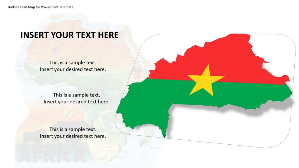
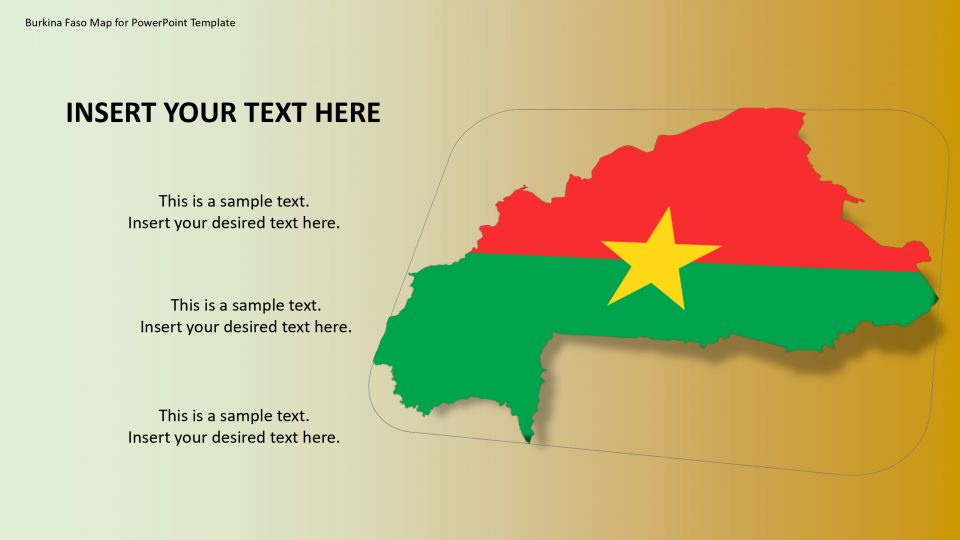
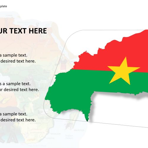
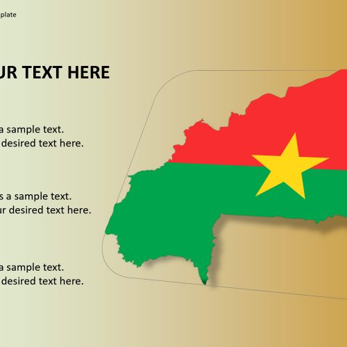
Burkina Faso is a country which is situated in West Africa. The map of Burkina Faso for PowerPoint template includes the capital named Ouagadougou and largest city of Burkina Faso that are the important areas. The map explains the administrative, cultural, communications and economic center of the nation.
The editable and customizable Burkina Faso map template is further suitable to mark specific spots and display travel routes. For example, one can use a flat line tool to create a path between two or more location and GPS markers. Also, the location markers could be used for geographical labeling presentations during geology lessons and other political aspects. Furthermore, the PowerPoint map template of Burkina Faso contains circular and rectangular flag icons against each country map. These flag icons appear as a badge to represent the country’s importance.
Features:
- Completely editable in terms of shape, color, size and text
- This template has a built in color theme which is unaffected by copy-pasting
- Includes an icon family with 135 unique completely editable icons
- Drag and drop image placeholder
- Completely editable (using spreadsheet) data-driven charts for displaying statistics
- Completely editable vector graphics
Supports
Microsoft PowerPoint 2010, 2011, 2013, 2016
MacOffice 2016, MacOffice 365


Be the first to review “Burkina Faso Map for PowerPoint Template”