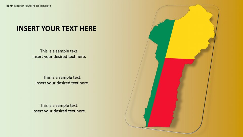
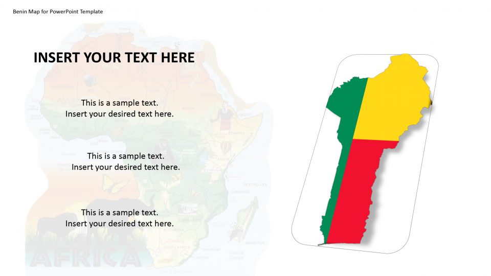
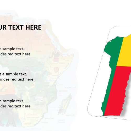
The Benin map for PowerPoint presentation is officially known as the Republic of Benin and formerly named as Dahomey, and is situated in West Africa. The country has a long history with the slave trade and it has diversified culture due to it. The map provides many features to represent history in a creative manner.
This country map of West Africa has its own geographical value and history. Therefore, the outline and political map for PowerPoint template of Benin will assist many professionals to add an artistic touch in PowerPoint presentation. This is the reason why the users can demonstrate and recreate demographics and statistical information about the country with the help of high-resolution graphics. PowerPoint map shows custom-draw layout design that highlights Porto Novo, the national capital. The presenters can apply a similar idea by copying and adjusting other administrative regions.
Features:
- Completely editable in terms of shape, color, size and text
- This template has a built in color theme which is unaffected by copy-pasting
- Includes an icon family with 135 unique completely editable icons
- Drag and drop image placeholder
- Completely editable (using spreadsheet) data-driven charts for displaying statistics
- Completely editable vector graphics
Supports
Microsoft PowerPoint 2010, 2011, 2013, 2016
MacOffice 2016, MacOffice 365



Be the first to review “Benin Map for PowerPoint Template”