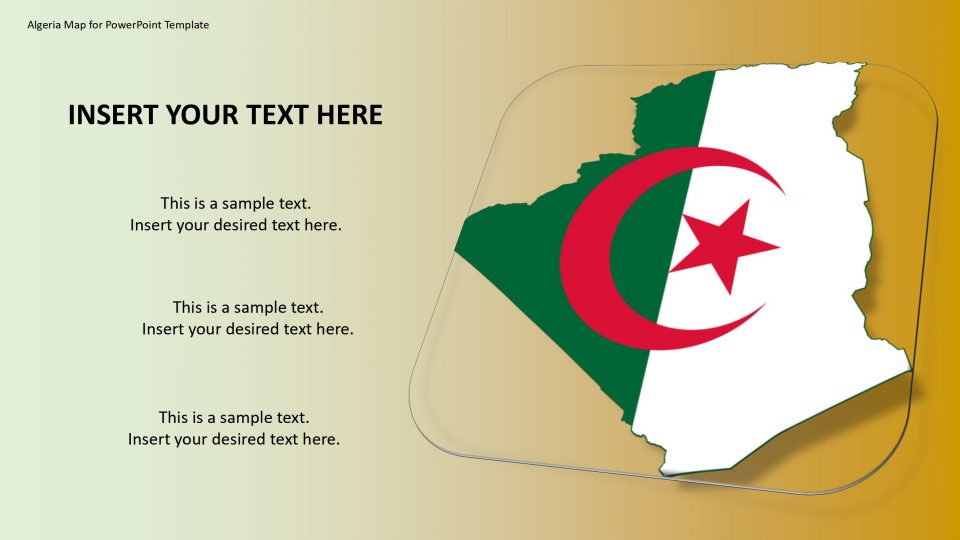
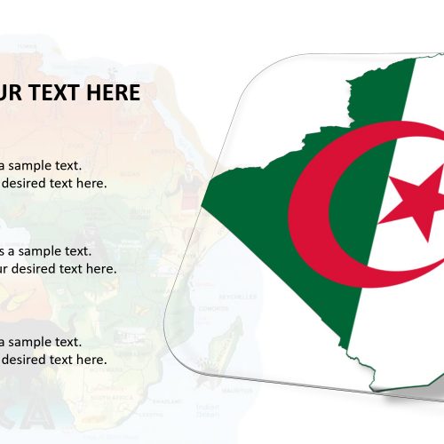
SlideVilla’s Algeria map for PowerPoint template is a country located in North Africa surrounding with a Mediterranean coastline and a Saharan desert. The official name of the country is the People’s Democratic Republic of Algeria. It is been bordered by the northeast by Tunisia, and to the north by the Mediterranean Sea to the east by Libya, to the southeast by Niger, to the west by Morocco, and to the southwest by the Western Saharan territory, Mauritania, and Mali.
One can use multiple colors to represent different states of each country. These colors can bifurcate various levels of the target customer, population, education, and more importantly, political view statistics. Algiers is the capital of Algeria which is located on the Mediterranean Sea and in the north-central portion of Algeria and this PowerPoint template highlights the capital with the location markers and county with an arrow shape.
Features:
- Completely editable in terms of shape, color, size and text
- This template has a built in color theme which is unaffected by copy-pasting
- Includes an icon family with 135 unique completely editable icons
- Drag and drop image placeholder
- Completely editable (using spreadsheet) data-driven charts for displaying statistics
- Completely editable vector graphics
Supports
Microsoft PowerPoint 2010, 2011, 2013, 2016
MacOffice 2016, MacOffice 365



Be the first to review “Algeria Map for PowerPoint Template”