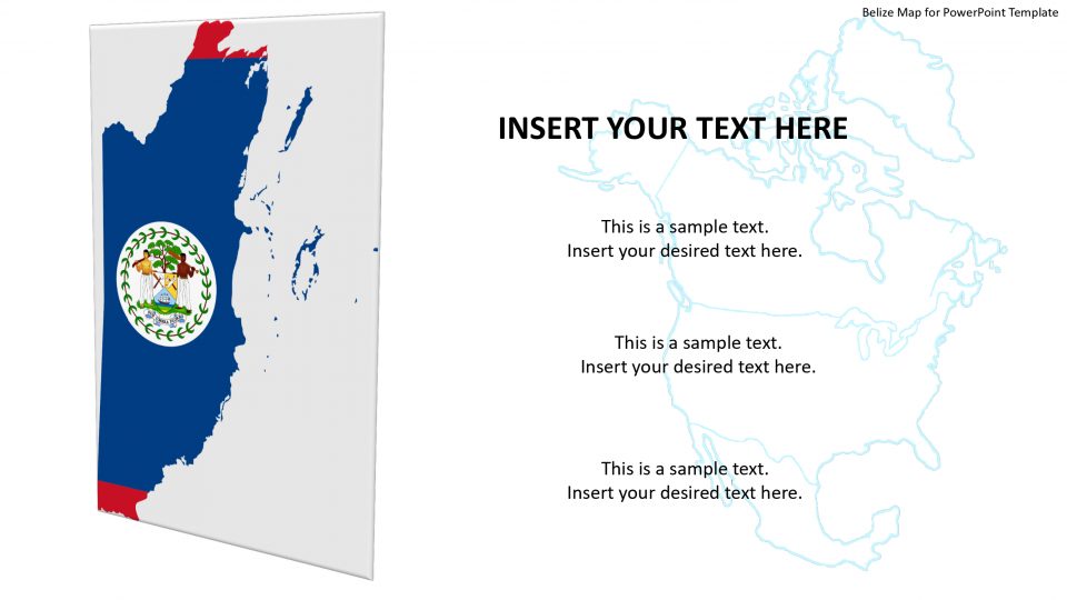
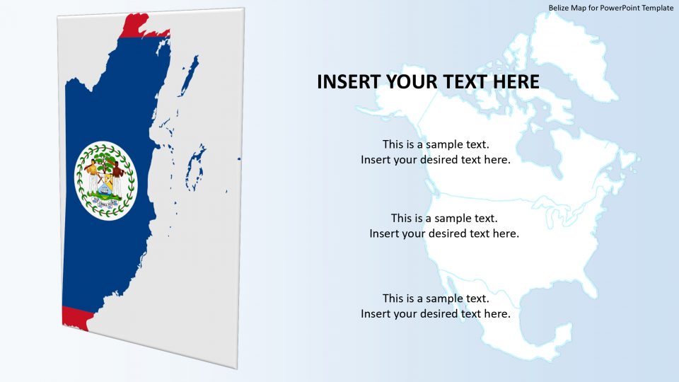
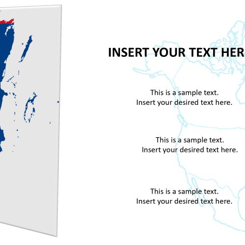
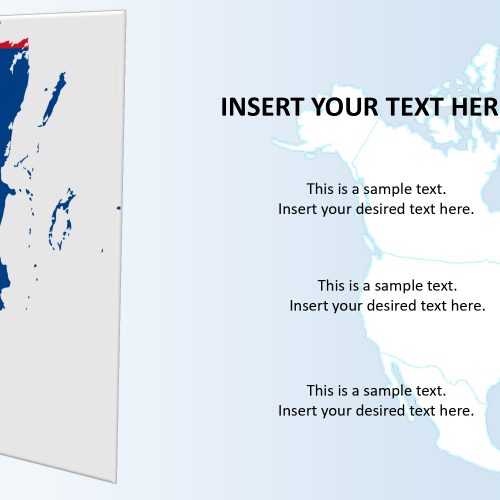
The Belize map for PowerPoint template includes the geographical regional presentation of the country. Belize is the country located in Central America which is bordered by the East to the Caribbean Sea, West and South to Guatemala, and North to Mexico. Using this identical map and its borders the presenters can show demographic, political and statistical information about the country.
The map silhouette for PowerPoint template has various segments as administrative divisions of Belize. This outline map in PowerPoint contains individual editable and customizable segments for these administrative divisions. Moreover, it shows unique versions of location markers i.e. pin, star, flags such as circular badge and flat rectangle shape. A flag of the country along with the regional and political map in PowerPoint will definitely attract a national and international audience.
Features:
- Completely editable in terms of shape, color, size and text
- This template has a built in color theme which is unaffected by copy-pasting
- Includes an icon family with 135 unique completely editable icons
- Drag and drop image placeholder
- Completely editable (using spreadsheet) data-driven charts for displaying statistics
- Completely editable vector graphics
Supports
Microsoft PowerPoint 2010, 2011, 2013, 2016
MacOffice 2016, MacOffice 365


Be the first to review “Belize Map for PowerPoint Template”