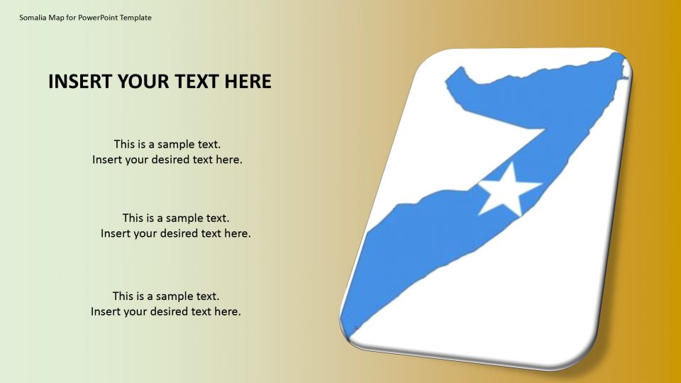
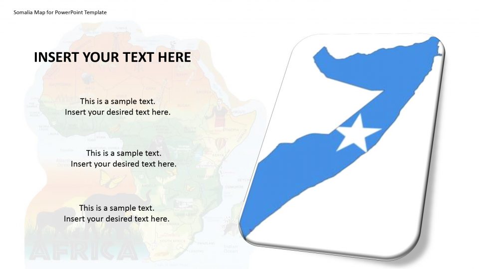
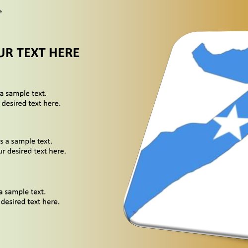
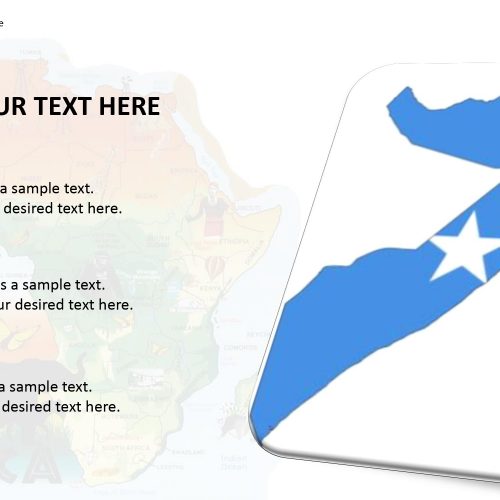
This template design gives an editable guide of Somalia. Somalia is officially named as the Federal Republic of Somalia. The Somalia map PowerPoint template includes the outline and political maps of Somalia which is bordered by Ethiopia to the west, Djibouti to the northwest, the Gulf of Aden to the north, the Indian Ocean to the east, and Kenya to the south.
The template offers the choice to change the multiple layout designs that are been included. The segmentation can be done based on the country’s culture, opportunities, value and so on by using the Somalia editable maps. The important areas and regions can be highlighted by using customized color, location marker, and location pins. Also, it has drag and drops placeholders.
Features:
- Completely editable in terms of shape, color, size and text
- This template has a built in color theme which is unaffected by copy-pasting
- Includes an icon family with 135 unique completely editable icons
- Drag and drop image placeholder
- Completely editable (using spreadsheet) data-driven charts for displaying statistics
- Completely editable vector graphics
Supports
Microsoft PowerPoint 2010, 2011, 2013, 2016
MacOffice 2016, MacOffice 365


Be the first to review “Somalia Map for PowerPoint Template”