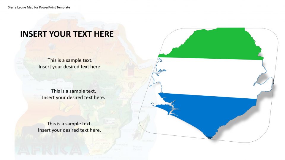
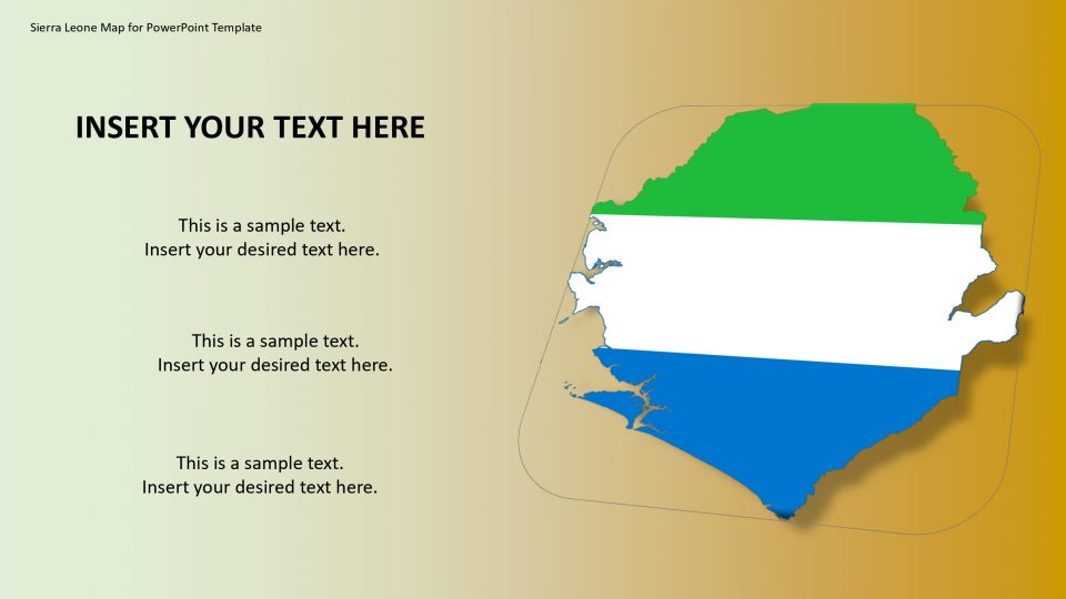
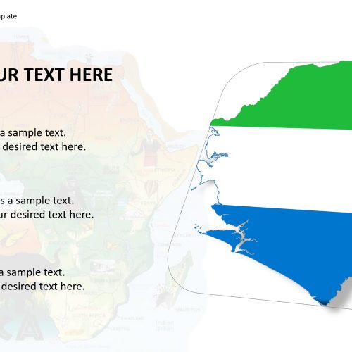
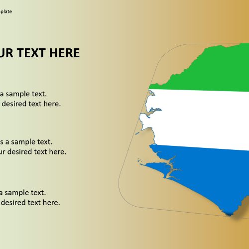
SlideVilla’s Sierra-Leone map for PowerPoint template includes Sierra Leone which is a country in West Africa, and officially known as the Republic of Sierra Leone. The map template PowerPoint provides the outlines of Sierra-Leone that is bordered by Guinea to the north-east, Liberia to the south-east, and the Atlantic Ocean to the south-west.
This map PowerPoint presentation is useful for an instructor of worldwide governmental issues, and worldwide history that requires an overall investigation of Sierra-Leone. This introduction map template can be utilized to signify Sierra-Leone’s fringes, explicit features, geology, and its economy in detail. Each state and area is comprised of exclusively customizable features which can help to differentiate between the cultures, values, and issues, also amazing icons and symbol with the goal that you can utilize this layout configuration to address any part of the long and complex Sierra-Leone history.
Features:
- Completely editable in terms of shape, color, size and text
- This template has a built in color theme which is unaffected by copy-pasting
- Includes an icon family with 135 unique completely editable icons
- Drag and drop image placeholder
- Completely editable (using spreadsheet) data-driven charts for displaying statistics
- Completely editable vector graphics
Supports
Microsoft PowerPoint 2010, 2011, 2013, 2016
MacOffice 2016, MacOffice 365


Be the first to review “Sierra Leone Map for PowerPoint Template”