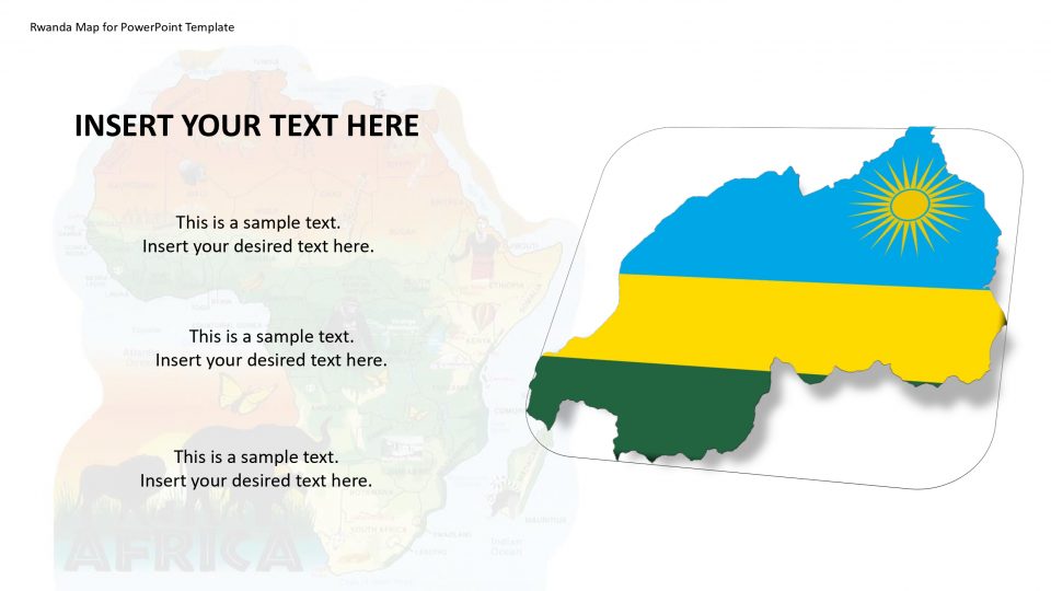
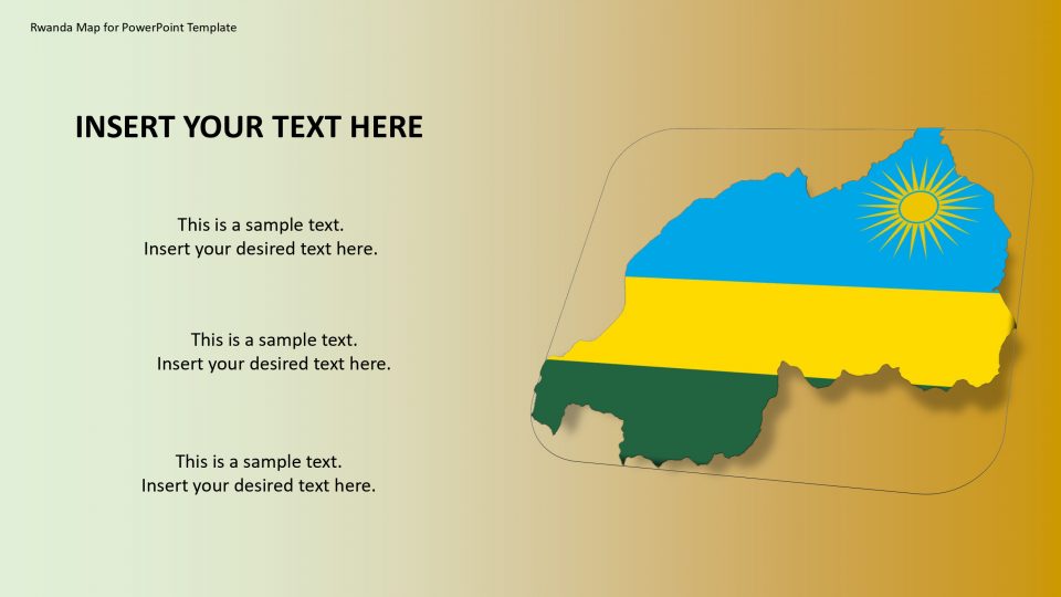
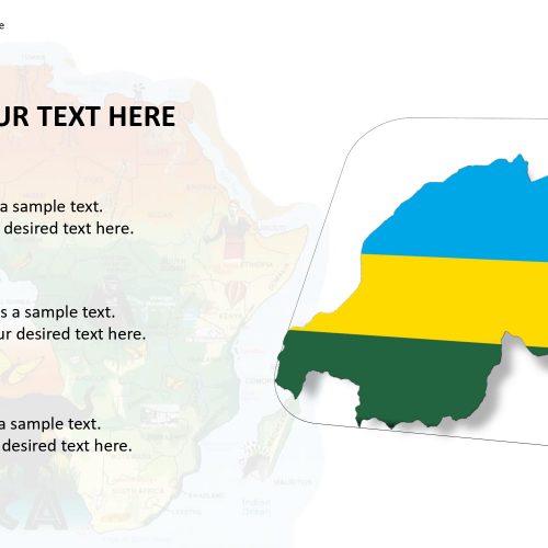
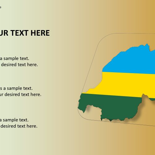
This template design is to show Rwanda during a PowerPoint presentation. Rwanda, officially known as the Republic of Rwanda, is a country in Central and East Africa and one of the smallest countries in Africa. It is located a few degrees south of the Equator. Rwanda is a neighboring country to Uganda, Burundi, Tanzania, and the Democratic Republic of the Congo.
The Rwandan Map for PowerPoint is made as a composite of the individual districts of Rwanda.
The volcano eruption spots and the national parks such as Volcanoes National Park and Akagera National Park can be bifurcated using different colors and location pins and flags. Every area is 100% editable. The client can utilize the total guide, or ungroup the shapes and work with the individual states.
Features:
- Completely editable in terms of shape, color, size and text
- This template has a built in color theme which is unaffected by copy-pasting
- Includes an icon family with 135 unique completely editable icons
- Drag and drop image placeholder
- Completely editable (using spreadsheet) data-driven charts for displaying statistics
- Completely editable vector graphics
Supports
Microsoft PowerPoint 2010, 2011, 2013, 2016
MacOffice 2016, MacOffice 365


Be the first to review “Rwanda Map for PowerPoint Template”