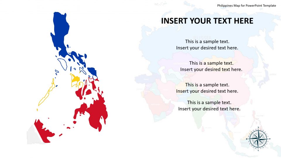
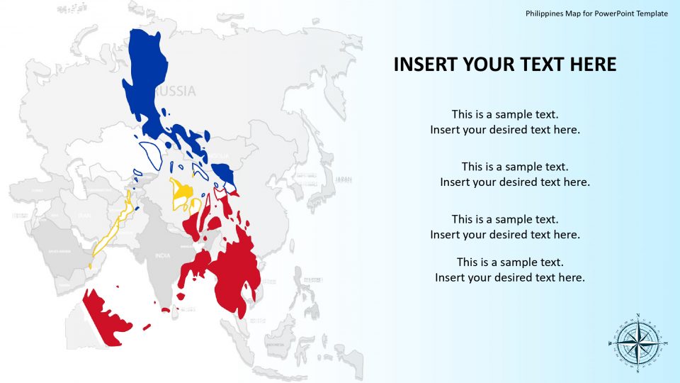
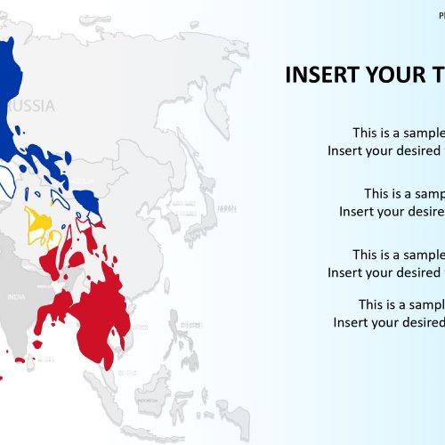
Philippines map for PowerPoint is a country which is also called the Republic of the Philippines and which is an archipelagic country located in Southeast Asia. The Philippines is surrounded by the Celebes, South China, and the Luzon straight as well as Sulu Seas. Slidevilla’s map of the Philippines comprises of many slides of the country which are ideal for debating tourism, diversity, demographics, and business, etc.
The creative and editable Philippines Map Template shows the boards of all the present states with a darker political outline. These outline colors can be easily changed through the shape outline color pallet in the drawing format menu. Similarly, the different colors of the borders in given map templates can be replaced from the shape fill option. The map template also contains lots of clipart icons to display the flag button, the flag and location markers.
Features:
- Completely editable in terms of shape, color, size and text
- This template has a built in color theme which is unaffected by copy-pasting
- Includes an icon family with 135 unique completely editable icons
- Drag and drop image placeholder
- Completely editable (using spreadsheet) data-driven charts for displaying statistics
- Completely editable vector graphics
Supports
Microsoft PowerPoint 2010, 2011, 2013, 2016
MacOffice 2016, MacOffice 365



Be the first to review “Philippines Map for PowerPoint Template”