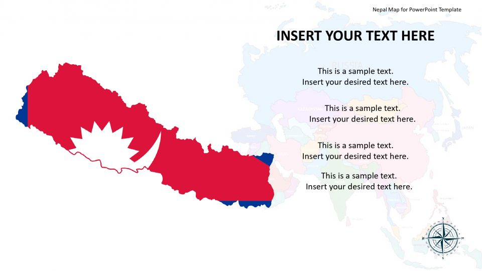
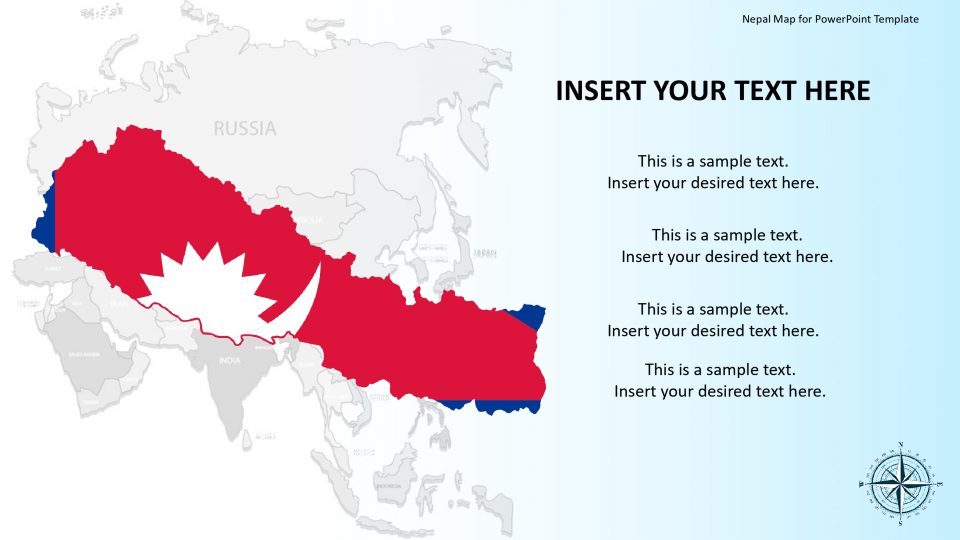
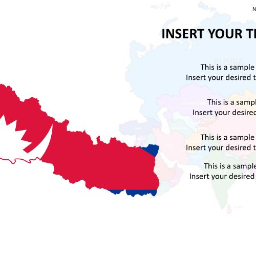
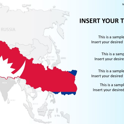
The Nepal map template, also known as the Federal Democratic Republic of Nepal, is an entirely surrounded country in South Asia. It has two neighboring countries that are India and China. Nepal is a country of breathtaking beauty and diversified cultures like no other place on earth. The editable map for Nepal is designed for easy use and makes it perfect for different kind of presentations. One of its best features is that its map slides are editable PowerPoint shapes and can be re-used in other illustration projects also.
The use of its geographical outline is a useful feature in identifying its government, local territory, and political situations. This way its provinces and claimed lands are easily specified. It is also used in identifying terrains and heights that includes the country’s land.
Features:
- Completely editable in terms of shape, color, size and text
- This template has a built in color theme which is unaffected by copy-pasting
- Includes an icon family with 135 unique completely editable icons
- Drag and drop image placeholder
- Completely editable (using spreadsheet) data-driven charts for displaying statistics
- Completely editable vector graphics
Supports
Microsoft PowerPoint 2010, 2011, 2013, 2016
MacOffice 2016, MacOffice 365


Be the first to review “Nepal Map for PowerPoint Template”