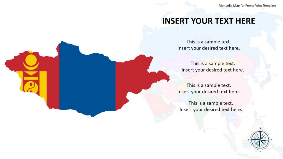
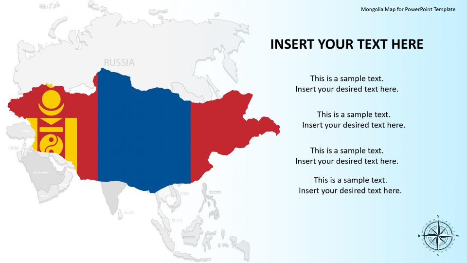
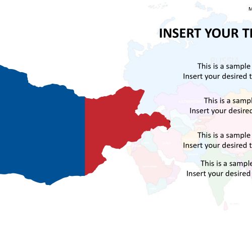
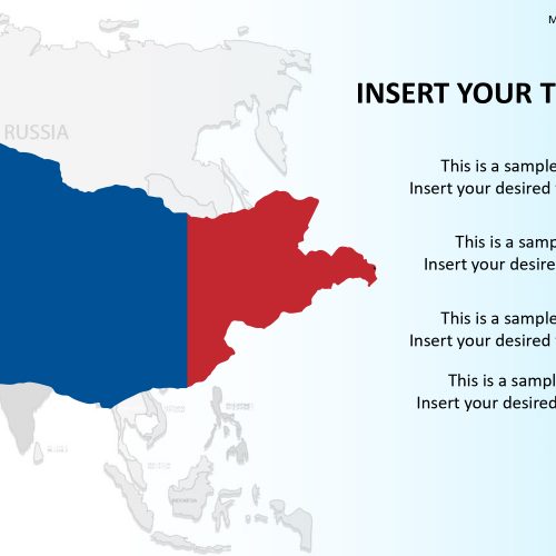
The Mongolia map template consists of various slides of the country which is a landlocked and a sovereign state in East Asia. Mongolia is situated between Russia on the north and on the three sides by China in the east, west, and south.
This PowerPoint template also highlights the map through location markers such as pins, flags, human icons interconnected with dotted lines, etc. This can be used as a representation of the human interactions in the slide. The whole idea draws the concept of globalization and networking. This PowerPoint presentation is beneficial to business, political, economic, and geographically related presentations.
The Mongolia map for PowerPoint presentation is all 100% editable. One can ungroup the parts, fill in colors, change size and shapes move and highlight sections of the map. Overall, they can explore the slides and play with the graphics to make it their own by their creativity.
Features:
- Completely editable in terms of shape, color, size and text
- This template has a built in color theme which is unaffected by copy-pasting
- Includes an icon family with 135 unique completely editable icons
- Drag and drop image placeholder
- Completely editable (using spreadsheet) data-driven charts for displaying statistics
- Completely editable vector graphics
Supports
Microsoft PowerPoint 2010, 2011, 2013, 2016
MacOffice 2016, MacOffice 365


Be the first to review “Mongolia Map for PowerPoint Template”