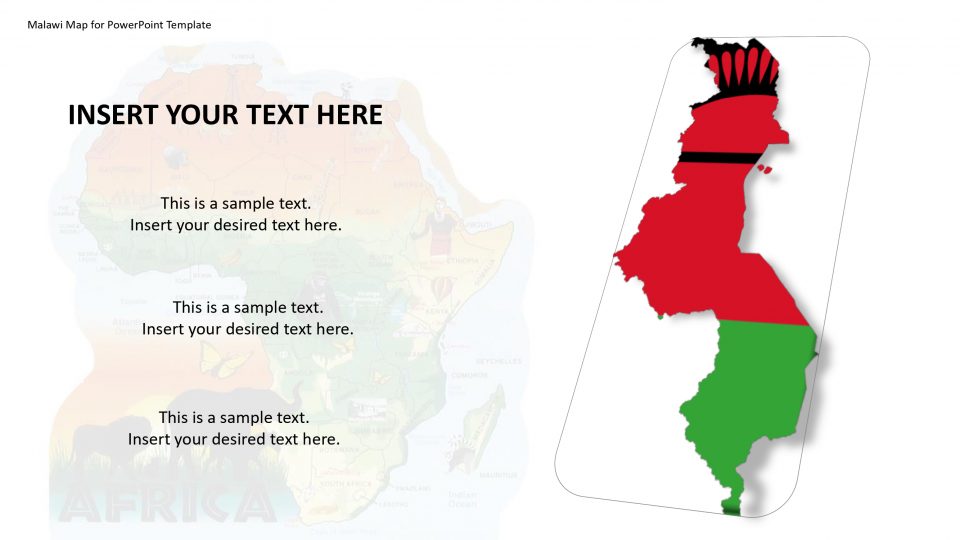
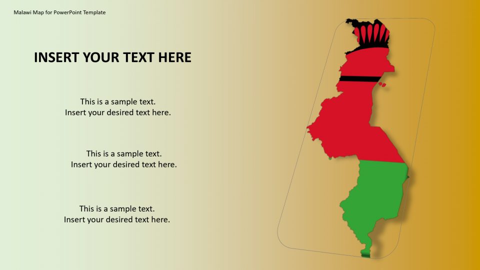
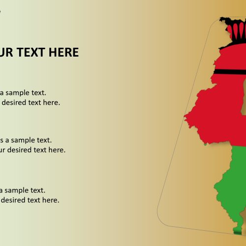
SlideVilla’s Malawi PowerPoint Map presents different slides for geographic and statistical presentations. The Malawi map for PowerPoint template presents various editable and customizable layouts in standard designs for maps. Malawi is a country based in southeast Africa, also known as the Republic of Malawi.
It is been bordered by Tanzania to the northeast, Zambia to the northwest, and Mozambique on the east, south, and west. The neighboring states outlines can be shown separately using this map.
The icons and layout designs provided in the Malawi map for PowerPoint can be used to give an artistic interpretation to your presentation and making the best impression. One can easily copy and manage the slide and its characteristic without affecting other slides based on your specific needs and purpose.
Features:
- Completely editable in terms of shape, color, size and text
- This template has a built in color theme which is unaffected by copy-pasting
- Includes an icon family with 135 unique completely editable icons
- Drag and drop image placeholder
- Completely editable (using spreadsheet) data-driven charts for displaying statistics
- Completely editable vector graphics
Supports
Microsoft PowerPoint 2010, 2011, 2013, 2016
MacOffice 2016, MacOffice 365



Be the first to review “Malawi Map for PowerPoint Template”