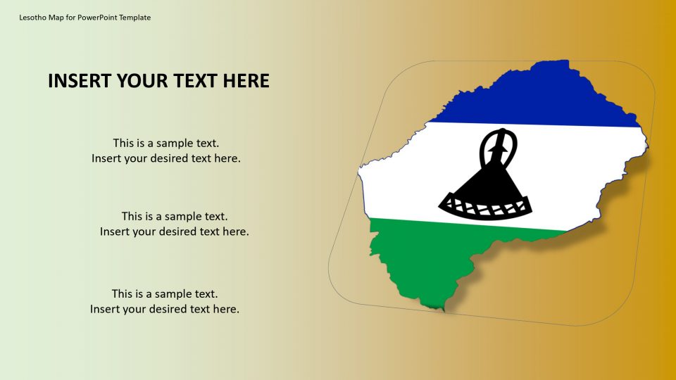
Lesotho map for PowerPoint template is a country, situated between the Maloti and Drakensberg mountains and are completely surrounded by South Africa. It has about 75% of the country’s population stays in rural areas, and animal herding and agriculture is their main occupation. Almost 90% of the goods that are consumed in Lesotho are imported from neighboring South Africa. Also, Diamond mining is an integral part of the country’s GDP and accounts for 9% of it.
This accurate information can be explained in detail by using this map of Lesotho. One can use different icons to highlight the particular topic which covers the range, culture, heritage, statistics, and geographical areas. It is definitely a learning presentation for students in a creative manner.
Features:
- Completely editable in terms of shape, color, size and text
- This template has a built in color theme which is unaffected by copy-pasting
- Includes an icon family with 135 unique completely editable icons
- Drag and drop image placeholder
- Completely editable (using spreadsheet) data-driven charts for displaying statistics
- Completely editable vector graphics
Supports
Microsoft PowerPoint 2010, 2011, 2013, 2016
MacOffice 2016, MacOffice 365




Be the first to review “Lesotho Map for PowerPoint Template”