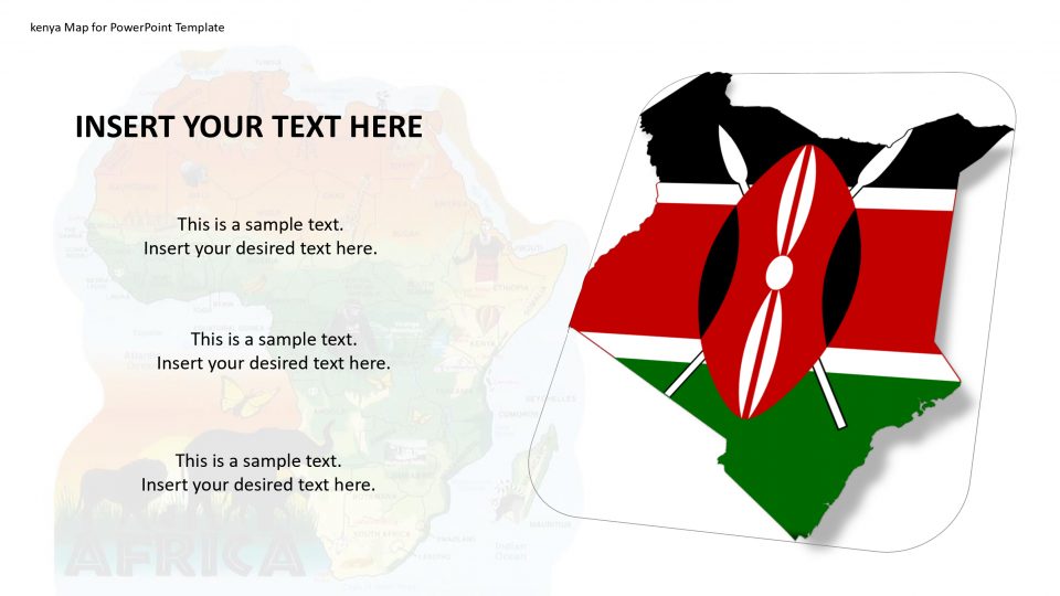
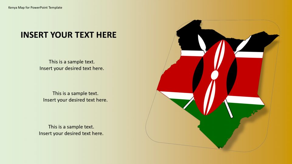
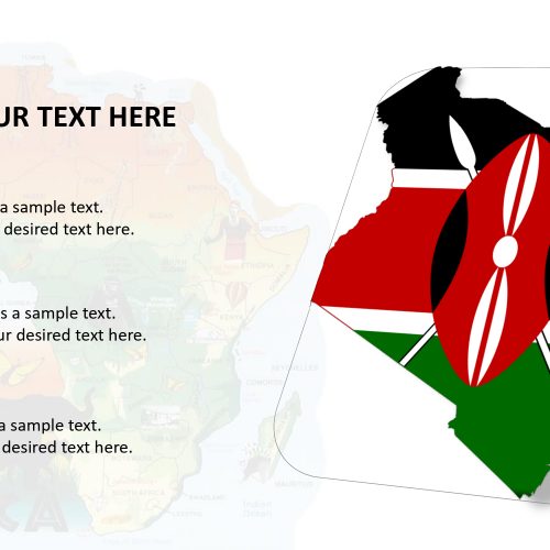
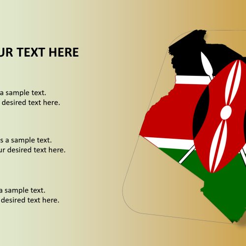
Kenya map for PowerPoint template is officially known as the Republic of Kenya, a country situated in Africa with 47 semiautonomous counties governed by elected governors. It has five land bordering countries which are South Sudan, Tanzania, Ethiopia, Somalia, and Uganda. Kenya is been named after Mt Kenya, the highest mountain in the country and the second-highest in Africa, after Kilimanjaro mountain. The highest peak of the mountain is 5,199 meters.
Kenya is one of the favorite destinations for nature lovers as it has many national parks such as Nairobi National Park, Maasai Mara Game Reserve, Tsavo Game Reserve, and Amboseli National Park, etc. This geography of Kenya and the wildlife conservation programs can be specifically elaborated with the help of the map. One can use the text placeholders to mention the national parks.
Features:
- Completely editable in terms of shape, color, size and text
- This template has a built in color theme which is unaffected by copy-pasting
- Includes an icon family with 135 unique completely editable icons
- Drag and drop image placeholder
- Completely editable (using spreadsheet) data-driven charts for displaying statistics
- Completely editable vector graphics
Supports
Microsoft PowerPoint 2010, 2011, 2013, 2016
MacOffice 2016, MacOffice 365


Be the first to review “Kenya Map for PowerPoint Template”