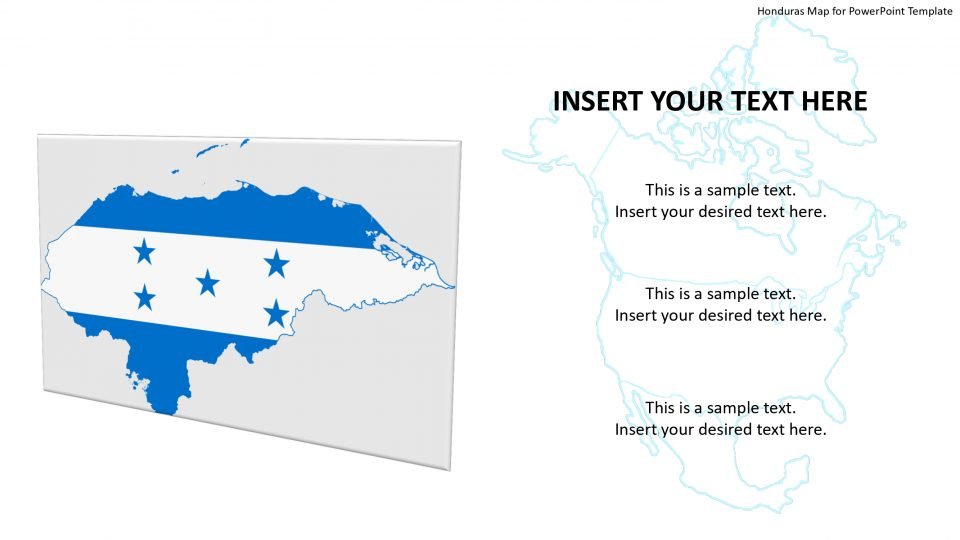
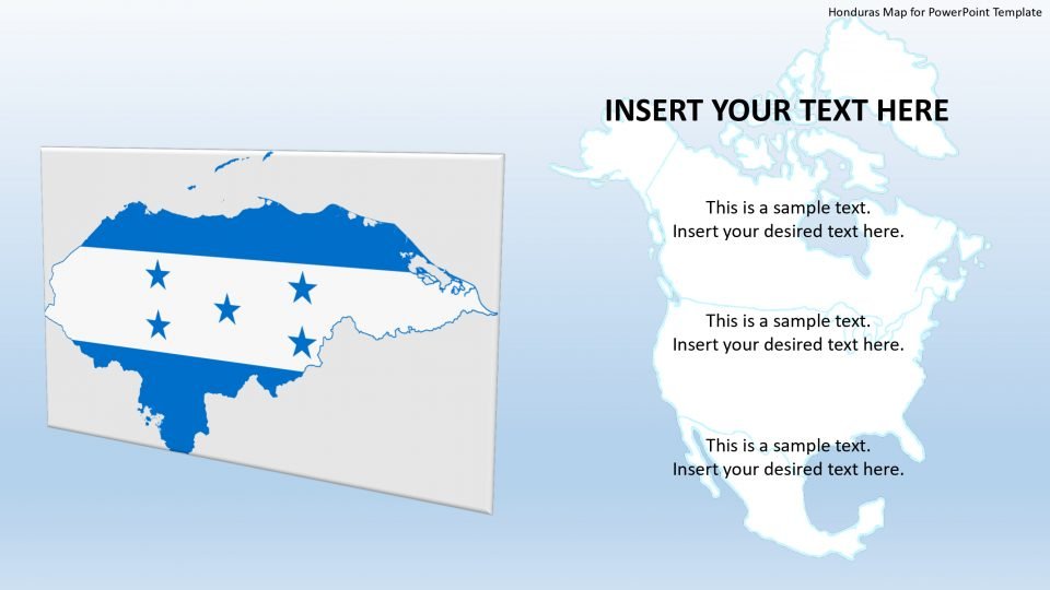
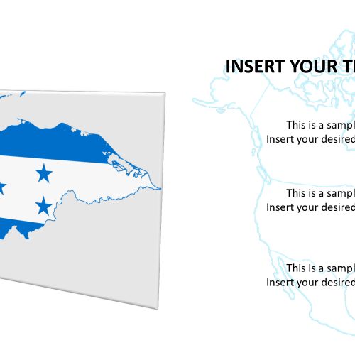
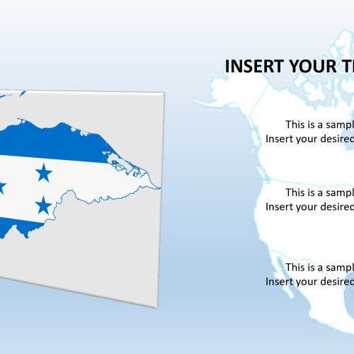
The PowerPoint template of Honduras consists of various slides with unique layout designs which is a country that is neighbored by Guatemala, the Caribbean Sea, and the Gulf of Fonseca, Nicaragua, El Salvador, and the Gulf of Honduras, also it is the only country to touch four Central American country borders.
The editable map for PowerPoint of Honduras includes different labeling options like line pointers, location marker, and flag button. One can customize and reuse these clipart icons as per requirements to the overall presentation. The circular flag shape is a high-resolution image and can be resized, also it doesn’t affect its image quality. All the designs are having individual segments which can help create zoom-in and zoom-out slides. One can simply copy the Individual area into a circular shape with an arrow to illustrate zoom-in presentation style.
Features:
- Completely editable in terms of shape, color, size and text
- This template has a built in color theme which is unaffected by copy-pasting
- Includes an icon family with 135 unique completely editable icons
- Drag and drop image placeholder
- Completely editable (using spreadsheet) data-driven charts for displaying statistics
- Completely editable vector graphics
Supports
Microsoft PowerPoint 2010, 2011, 2013, 2016
MacOffice 2016, MacOffice 365


Be the first to review “Honduras Map for PowerPoint Template”