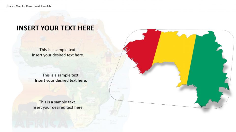
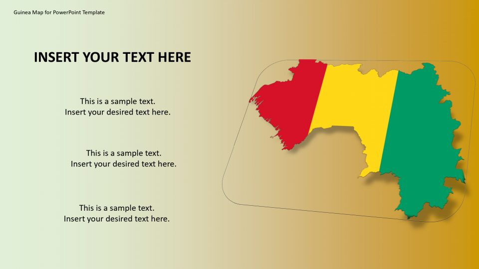
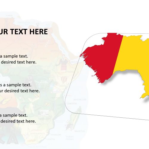
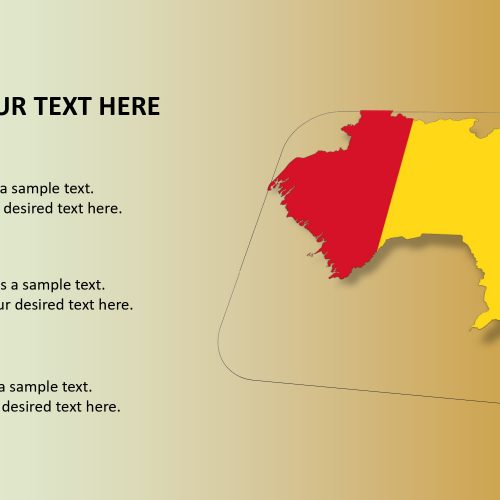
The map of Guinea is a country on the western coast of Africa and the official name of the country is the Republic of Guinea. It is sometimes referred to as Guinea-Conakry in order to distinguish it from other areas of the wider region of the similar name, such as Guinea-Bissau and Equatorial Guinea. The neighboring countries of Guinea are Guinea-Bissau to the northwest, Senegal to the north, Liberia and Sierra Leone to the south and the Atlantic Ocean to the west, Mali to the northeast, and Ivory Coast to the southeast.
The famous Mount Nimba Strict Nature Reserve is been kept a protected area and UNESCO World Heritage Site located in both Guinea and Côte d’Ivoire regions. These map of Guinea can help to describe the geographical and political areas in order to make a presentation effective. Its editable map and its available customizations are its positive points.
Features:
- Completely editable in terms of shape, color, size and text
- This template has a built in color theme which is unaffected by copy-pasting
- Includes an icon family with 135 unique completely editable icons
- Drag and drop image placeholder
- Completely editable (using spreadsheet) data-driven charts for displaying statistics
- Completely editable vector graphics
Supports
Microsoft PowerPoint 2010, 2011, 2013, 2016
MacOffice 2016, MacOffice 365


Be the first to review “Guinea Map for PowerPoint Template”