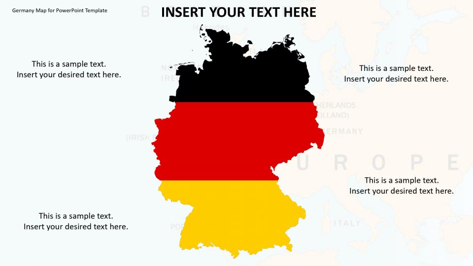
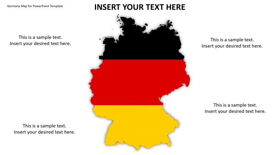
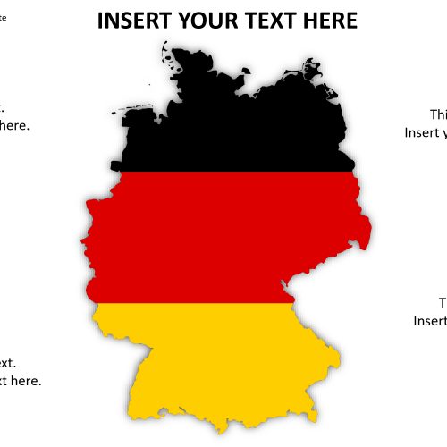
The Germany map is located in western-central Europe and is neighbored by Denmark to the north, Austria, and Switzerland in the south, France and Luxembourg to the southwest and the Czech Republic to the east. The map has slides which help you to explain the political statistics in detail.
The editable Map of Germany puts up the country’s administrative districts and major cities in focus. It includes fully editable map vectors. Thus, the users can utilize the PowerPoint elements in pointing out the specified topics in detail, including all of the customizable features. Also, separate map slides are available for highlighting Berlin the capital and largest city of Germany, and other major cities using flag icons. The google slides present on the map provides good quality graphics.
Features:
- Completely editable in terms of shape, color, size and text
- This template has a built in color theme which is unaffected by copy-pasting
- Includes an icon family with 135 unique completely editable icons
- Drag and drop image placeholder
- Completely editable (using spreadsheet) data-driven charts for displaying statistics
- Completely editable vector graphics
Supports
Microsoft PowerPoint 2010, 2011, 2013, 2016
MacOffice 2016, MacOffice 365



Be the first to review “Germany Map for PowerPoint Template”