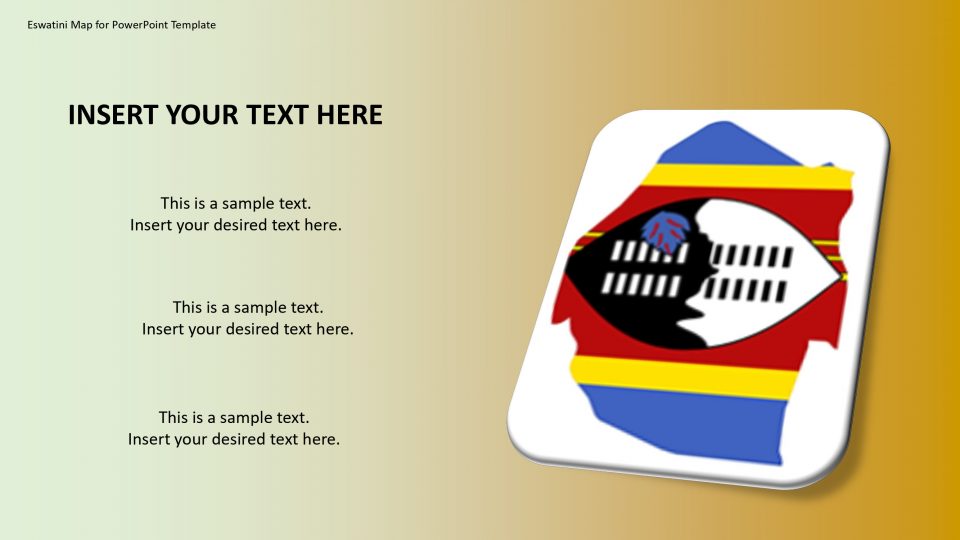
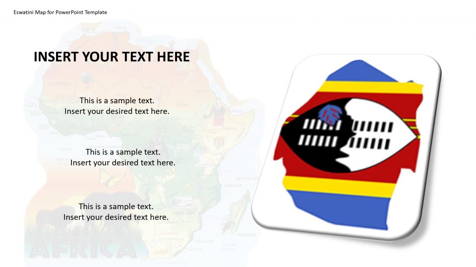
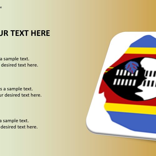
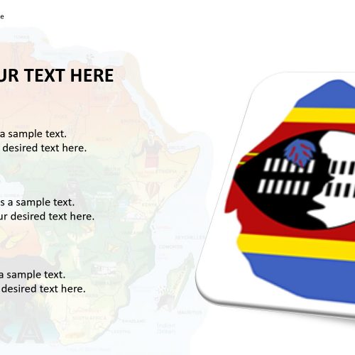
The map of Eswatini for PowerPoint template can be used to put a light on many facts about the country which has stayed unknown for a long time of period. Such as, Eswatini sometimes is called as kaNgwane or Swaziland which is a landlocked country in located in Southern Africa. Its official name is the Kingdom of Eswatini. It is bordered by South Africa to its north, south and west and Mozambique to its northeast.
The Eswatini map template is simply editable and customized. It is suitable to mark specific spots and display travel routes. For example, one can use a dotted line tool to create a path between two or more location markers. And, the location markers could be used for geographical labeling PowerPoint presentations during geology lessons.
Features:
- Completely editable in terms of shape, color, size and text
- This template has a built in color theme which is unaffected by copy-pasting
- Includes an icon family with 135 unique completely editable icons
- Drag and drop image placeholder
- Completely editable (using spreadsheet) data-driven charts for displaying statistics
- Completely editable vector graphics
Supports
Microsoft PowerPoint 2010, 2011, 2013, 2016
MacOffice 2016, MacOffice 365


Be the first to review “Eswatini Map for PowerPoint Template”