Egypt is a multicontinental country spanning through northeast Africa with the Middle East until the time of the pharaohs. The great old monuments that are present alongside the Nile River Valley, which also includes Great Sphinx, and Giza’s colossal Pyramids as well as Luxor’s hieroglyph-lined Karnak Temple and Valley of the King’s tombs.
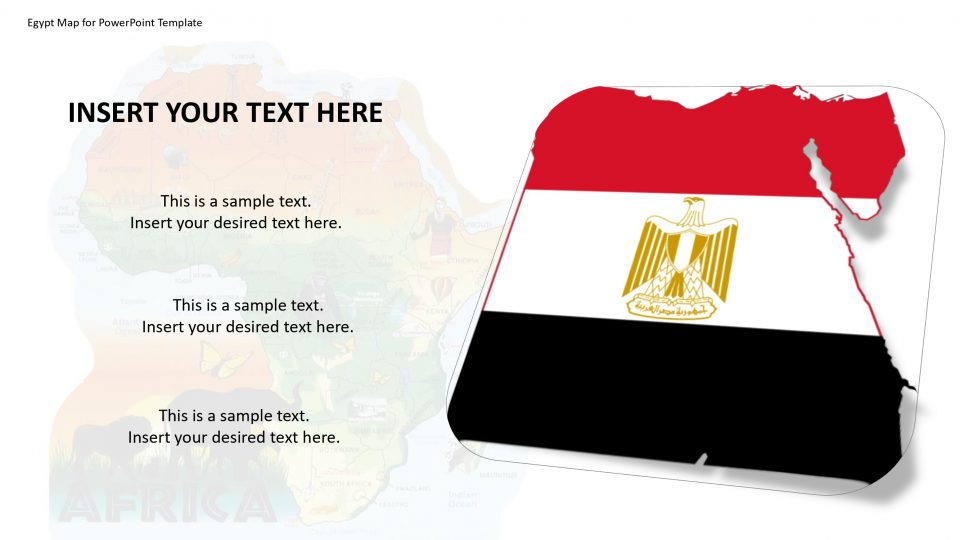
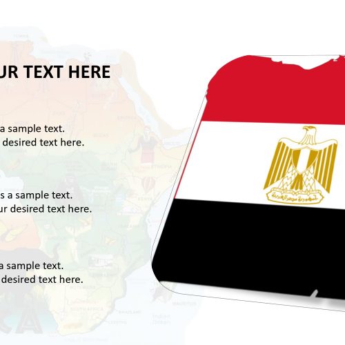
This PowerPoint presentation will provide flexible editable and customizable sizes and shapes for the user to distinguish archaeological locations with GPS and location markers, and highlight states and counties with excessive concentration of archaeological places. The Editable Map of Egypt PowerPoint Template also provides the national flag of Egypt to elaborate on the importance of the nation and a variety of different 135 icons to represent Egypt’s iconic monuments and its civilization.
Features:
- Completely editable in terms of shape, color, size and text
- This template has a built in color theme which is unaffected by copy-pasting
- Includes an icon family with 135 unique completely editable icons
- Drag and drop image placeholder
- Completely editable (using spreadsheet) data-driven charts for displaying statistics
- Completely editable vector graphics
Supports
Microsoft PowerPoint 2010, 2011, 2013, 2016
MacOffice 2016, MacOffice 365



Be the first to review “Egypt Map for PowerPoint Template”